Usually I wait until the end of a trip to talk about it. But today was just one of those experiences I need to share in greater detail than I would in a normal trip post. It was the day I almost became one of those headlines “woman gets lost and dies 4 miles from campsite”. I always wondered how someone can be a few miles from their car in the woods and get completely lost. Now I know how that happens.
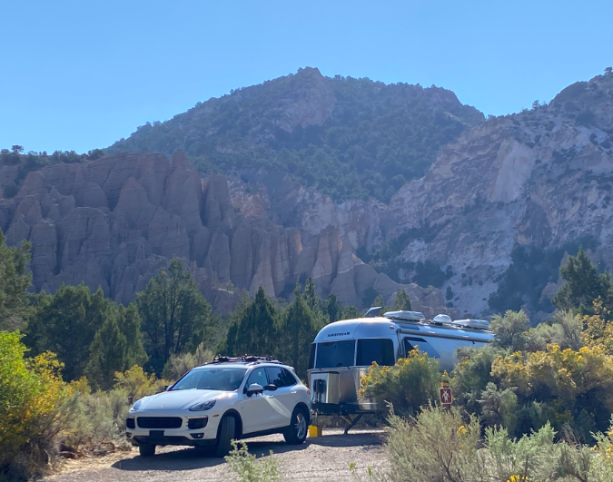
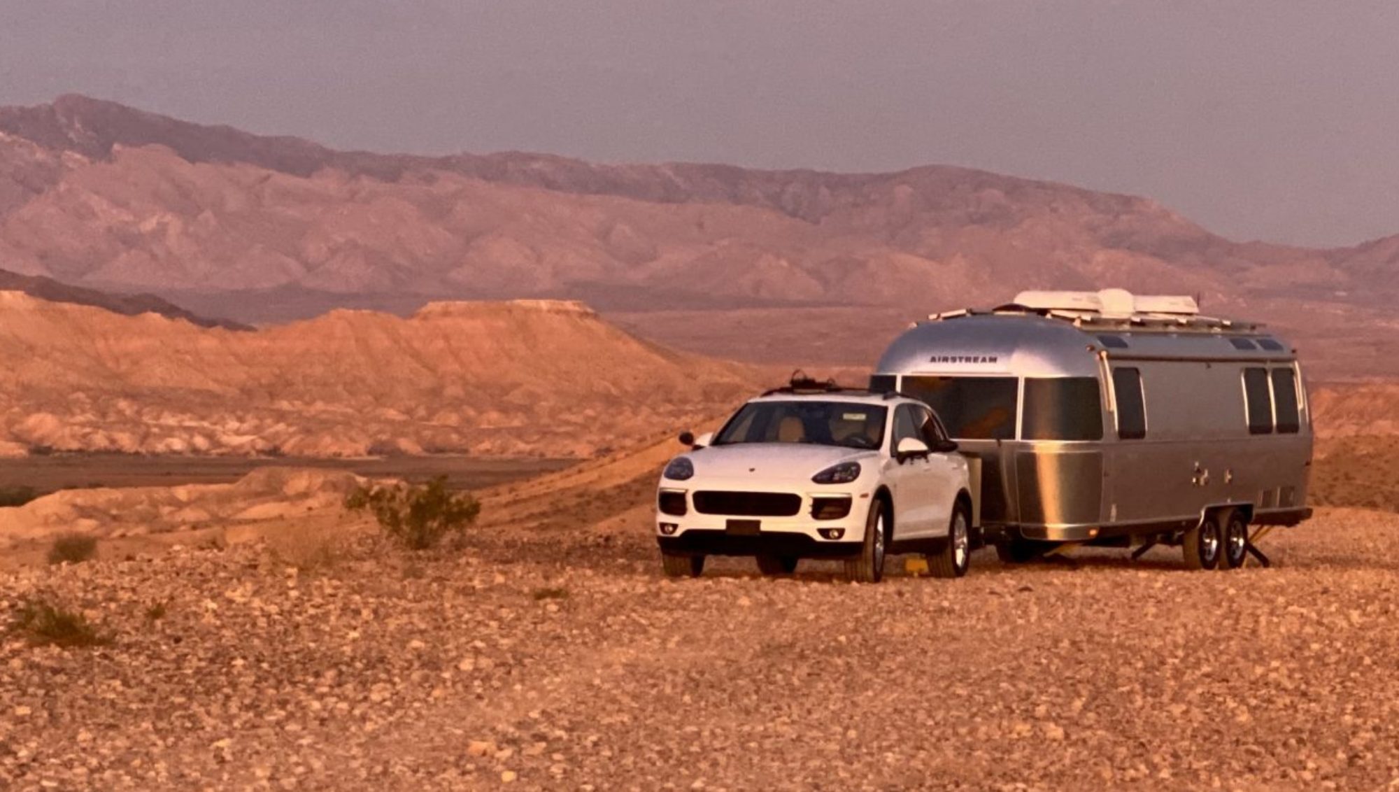
So first, let’s just appreciate the beauty of Castle Rock Campsite in the middle of Utah. It’s lovely and nestled into a small canyon. Beyond the stunning backdrop of these unique rock formations, there is a quaint creek that runs through the campsite and each spot is private. The one drawback – none of my trail finding apps showed any meaningful hikes in the area. Then, on a whim, I found that someone had done a “mapmyrun” at the back of the campsite, going about 1.5 miles up the canyon and along the creek. I found a trail! Noticing that this trail was not marked on TrailForks or even AllTrails, I decided it was my duty to hike the entire trail and plot the hike on an app for other dedicated trail users.
Online sleuthing uncovered the fact that this trail is marked on a US Forest Service map, but not easy to find. It indicated that the trail from the campsite (Joe Lott Trail) extended about 3 miles from the campsite to an interpretive display at the other end. Right before the display, another trail loops back and then you intersect one more trail that finally brings you back to an early section of the Joe Lott Trail. Seemed really doable, estimated around 6 miles for the hike, not a huge hike. So I grabbed my usual gear: bear spray (also usable on mountain lions and aggressive men); GPS tracker (with an SOS function just in case the mountain lion got a swipe in before I hit it with the bear spray); 12 ounce water bottle (it’s only about 6 miles); and my phone to track the hike into the TrailForks app.
Let’s just say, things don’t always turn out the way you expect. The Joe Lott trail isn’t used much, likely because, after mile 3, much of the trail is unmarked. It’s also not 3 miles long, it’s more like 6. After trudging along about 4 miles, all uphill, I found a collection of bones. May have been the last hiker that tried this trail and failed. At mile 4.5 the trail runs into a large meadow and there is no way to tell where it continues. No cell signal meant no way to look at an online map. I assumed continuing to walk in the same direction might be the best solution, and it would be easier to backtrack if all else failed. At that point I was thinking that I should have left markers/bread crumbs along the way to be sure to find my way back. Then mile 5 reaches a summit, but still no easily traceable trail. I took various deer/bear/elk paths hoping one might be the trail. One side path stopped at a deserted campsite where a pair of hiking shoes were left in desperation (maybe connected to the collection of bones found earlier?). Finally a rock cairns indicating signs of hope – there was a direction to be had. Finally, just before mile 6, I got a weak signal and was able to ascertain where the trail was and soon connected not just to the trail, but to the junction of the next trail. I would live another day.
Relief was instant. An easy to follow trail and it looked like it would just be downhill. No more uphill! It would be smooth sailing, downhill, back to the campsite. While that trail was downhill, my next trail needed to cross back over a mountain to get back into the original canyon. This trail, like Joe Lott, was occasionally obscured by overgrowth and was hard to follow.
By mile 8, I ran out of water. Mile 10 brought a few tears as I stared straight up. Finally at mile 11 the current connector trail ran into the early portion of the Joe Lott Trail. After 3.75 hours of hiking (and occasionally running, I arrived back at the campsite. As a side note, mile 5 took me almost 30 minutes between the uphill and wandering off side paths. Mile 10 took me 25 minutes with a steepness that challenged gravity. Here’s a link to my route on TrailForks.
Pictures along the way… I did stop to blend into the landscape. Didn’t realize that pink is useful camouflage.


Wow! I have experienced similar feelings while hunting in Florida years ago. It was after dark that I finally made it back to the truck. Didn’t see any bones or discarded sneakers tho…
Glad you made it back!!!!!!