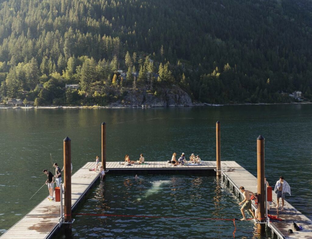
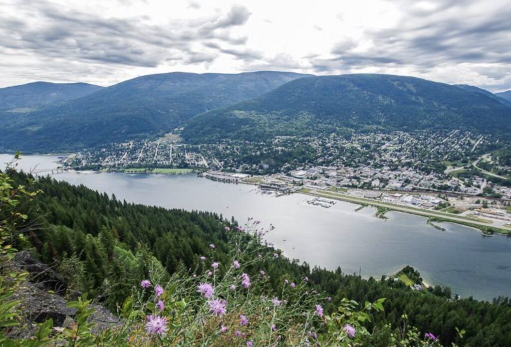
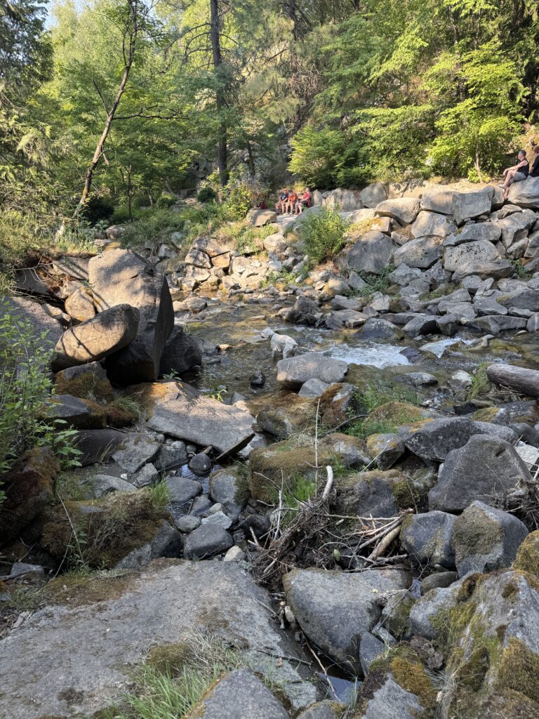
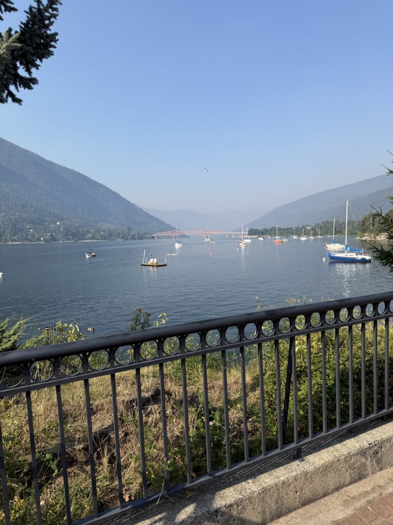
Oh, Canada… the people are friendly, the landscape is beautiful, and the towns can be surprising. A friend, in joking, said, “hoping not to lose you to Canada”. It has made me really think about what attracts us to a place for living. Frankly, I LOVE Chapel Hill. Why? Well, I’m not sure you can find another town so cultured, full of business opportunities, strong in diversity of people, surrounded by beauty, and as easy for living as Chapel Hill. But, Canada has a strong pull… especially now. Let me highlight our recent visited town, Nelson.
A bit about Nelson: Nelson is a vibrant city in southeastern British Columbia, Canada, known as the “Queen City”, population of about 11,000, famous for its 350 heritage buildings, and (according to a local) more restaurants per square foot than Manhattan. It’s hilly… more so than San Fran. The people are exceptionally nice, in a sincere way. It feels authentic – real – and not at all pretentious. I would live here. I would live here, but for my good friends and the climate. So, for now, I will visit.
We are already on this road, but it’s been years in the making. Banff has been a destination for Matt and me since 2020. We just assumed it would happen, but after six years we realized that it just doesn’t happen unless you make it happen. So, we are finally back in the camper with an extended timeframe – much longer than we have ever done before – with the destination of Banff. Why Banff, you ask? Well, for starters, images of Banff are rather enticing. But, maybe, Banff just denotes an area of the world, rather than a specific destination. The reality is that we will not camp in Banff (no dispersed camping and all campgrounds are busy), but we will see the beauty and the wonder of what this amazing place in the world offers. Thank you, Mother Earth, Indigenous people, and Canadians for protecting the wonder of Banff’s surrounding environment.
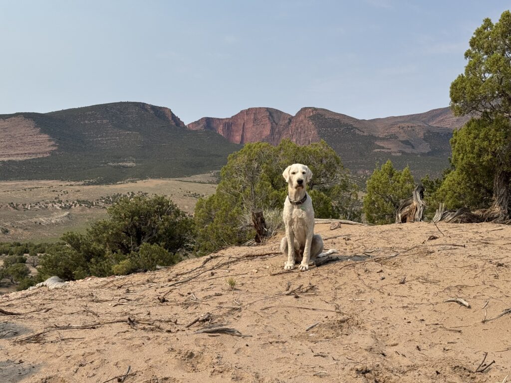
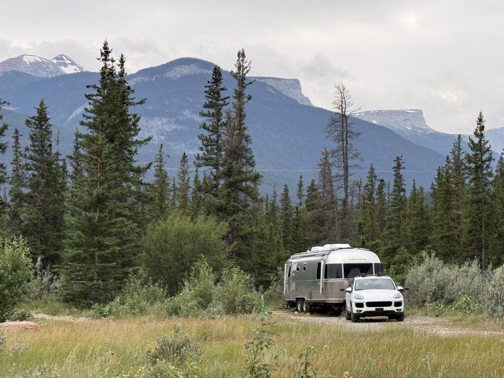
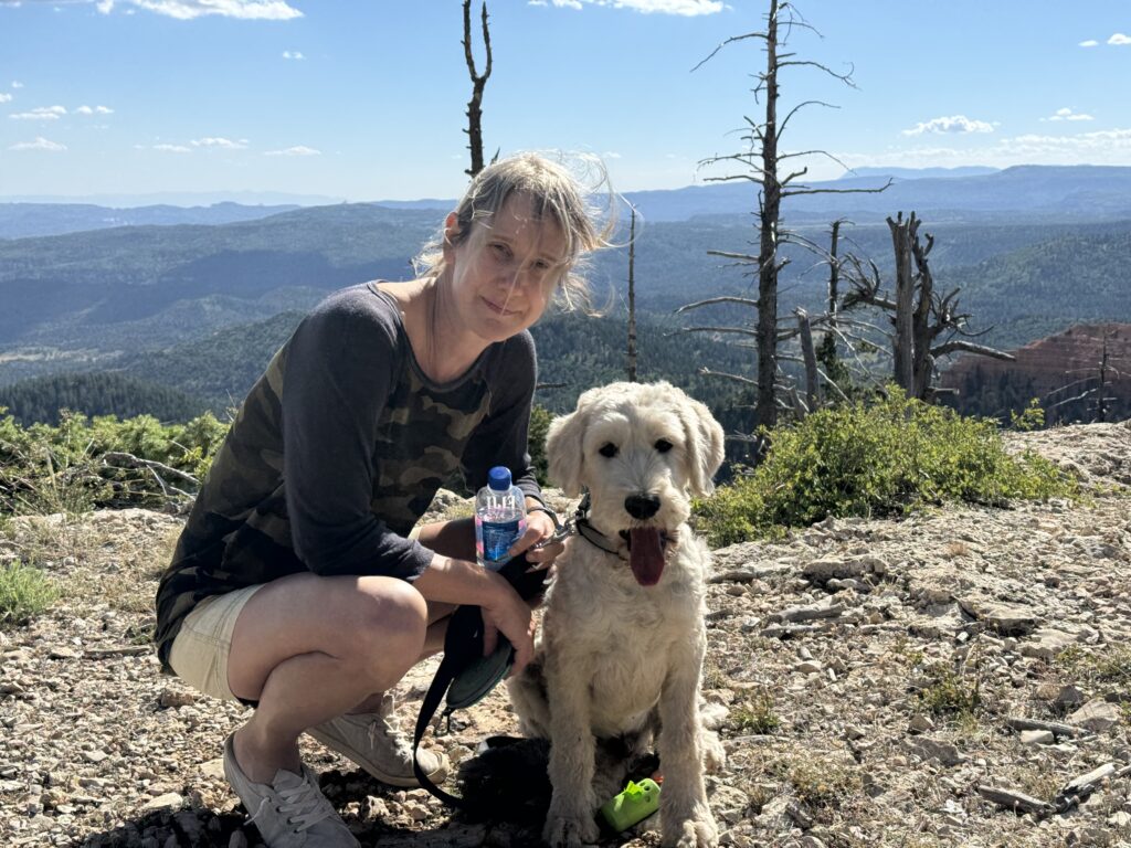
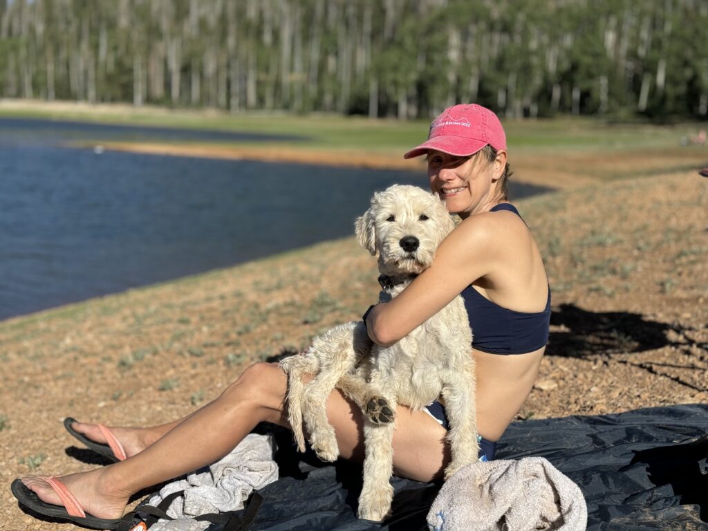
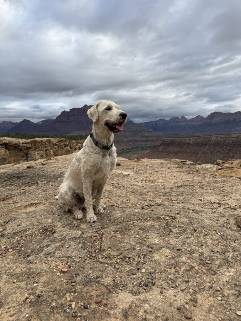
At this point, I should present all the lovely pictures of our travels. Our beautiful dog (yes, I can say that… he’s my dog and all I see is beautiful), our lovely camper, amazing campsites, great hikes (with pics that hopefully hide the sweat marks). AND, much of our trip is so like that… but as I write tonight there is a different story. Before that starts, a few pictures to see our life on the road.
Generally, our goal when camping is to find the perfect dispersed campsite—one tucked away in a wild place, far from other people. While this trip began that way, with dispersed camping in Colorado, that hasn’t been the norm. More often than not, we’ve found ourselves in places filled with other campers. Whether at a dispersed campsite or an organized campground, we’ve been sharing the landscape with many others.
As it turns out, though, perfect campsites may limit your experiences. Along this journey, we’ve met people who will stay with us forever. There was the family of nine living in a trailer and moving every two weeks. Their oldest son slept in the backseat of the car while completing his GED online so he could work during the day to help support the family. We met a young woman working at Glacier National Park who was living in a camper and relocating to a new campsite every few weeks. Then there was the young, vibrant couple traveling the country in a Sprinter van, the Italian couple celebrating their honeymoon, and the Canadian couple camping with their son to mark their tenth anniversary. We also had the privilege of friends joining us along the way, allowing us to share our joy. Thank you Tom and Naomi.
I could go on and on about the many people we’ve met. It’s been a smorgasbord of life. We may not have had the quiet solitude and intimate encounters with nature that we usually seek, but we’ve experienced something equally meaningful—a cross-section of humanity that broadens your perspective and reminds you how many different ways there are to live a life.
I love camping, not just for the natural encounters, but also the human ones. We learn from all of it.
Before I end this post, I should mention that the trip has not been without its wildlife encounters. Four weeks in, Matt has spotted one elk, two grizzly bears, and one black bear. I’ve seen only one grizzly bear and countless chipmunks (which are quite terrifying under a microscope). Matt has had a few bike crashes, and I watched my dog charge full speed through dense brush—only to run straight into a tree.
It all makes life interesting.
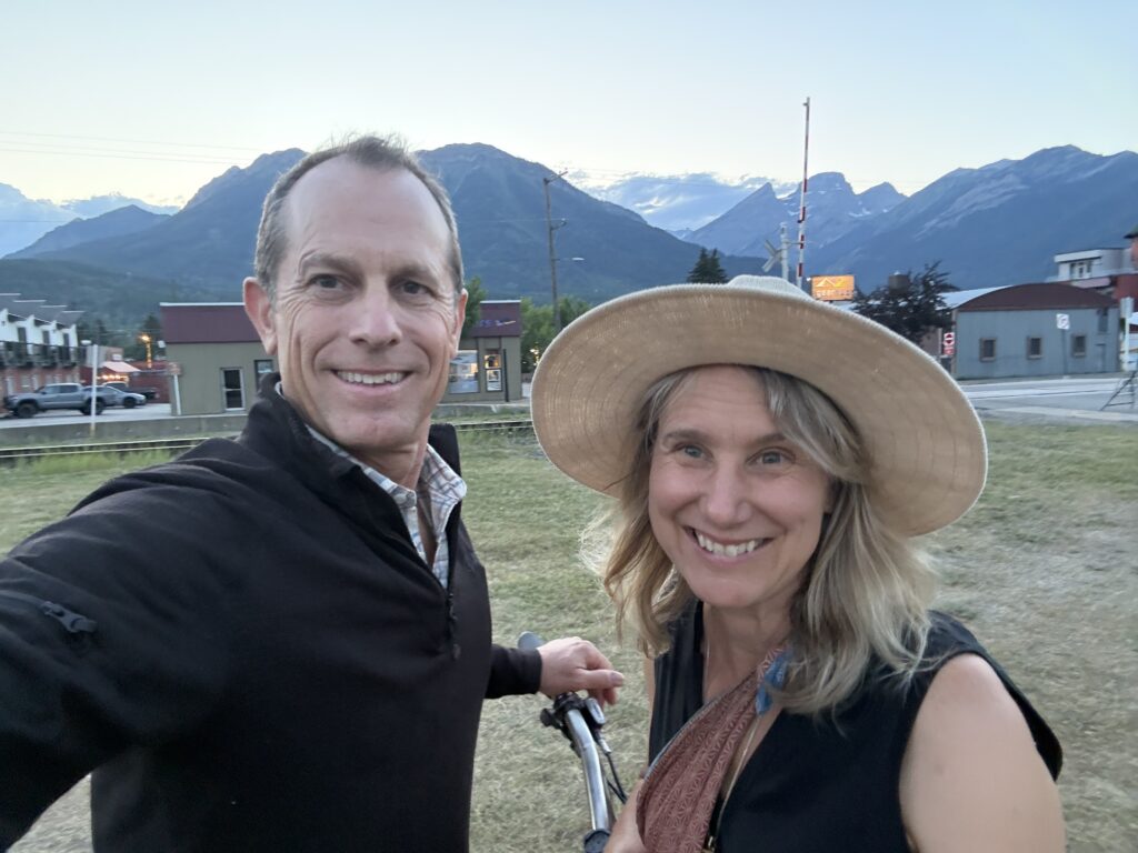
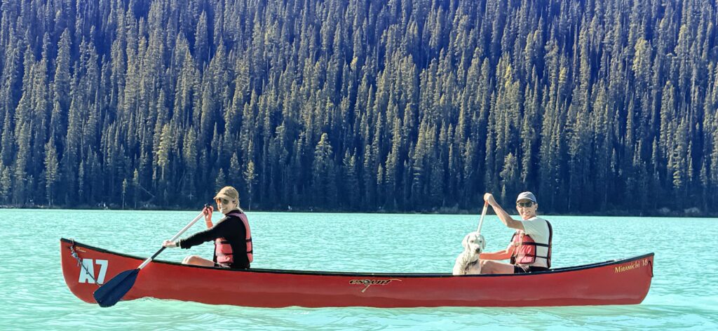
ps… if you are wondering who took the picture of us on Lake Louis, it was another couple that was canoeing near us. We swapped photos of each other.
I’ve been very lazy at blogging and posting pictures from our road trips over the last (ahem) few years. While I would love to relive and tell wonderful stories, frankly too much time has passed. Let’s just make this a photo montage of experiences and stories.
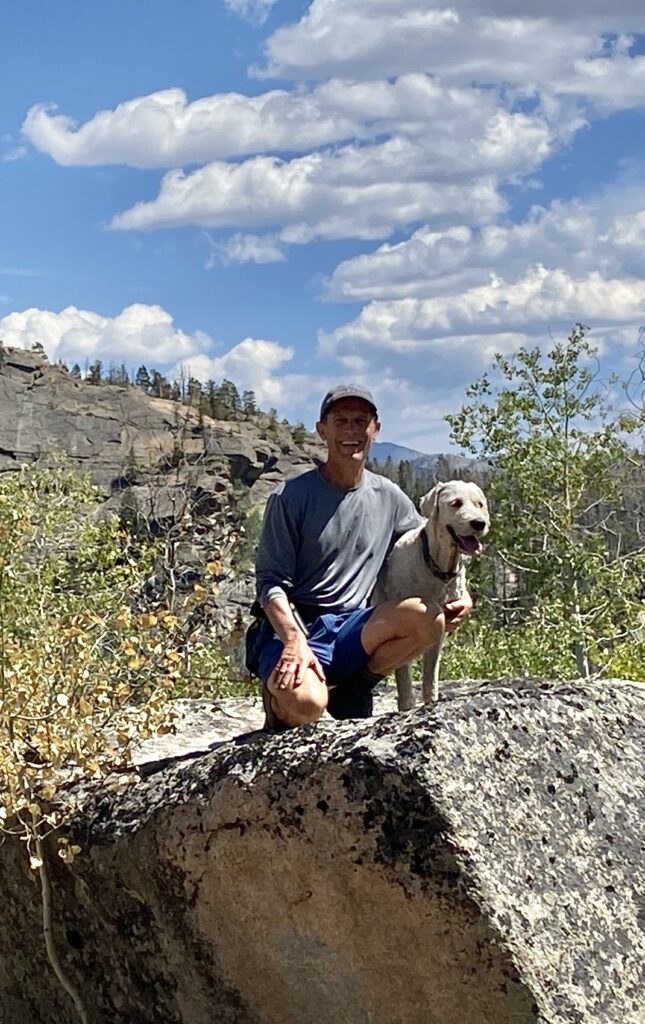
Pictures always help me remember events. Well, first, you might notice the furry addition to our camping trips. Yes, we now sleep three in the camper. Luckily he likes swimming in water so his consumption of our precious tank water is only for drinking and he bathes in nearby creeks, lakes, streams, and rivers.
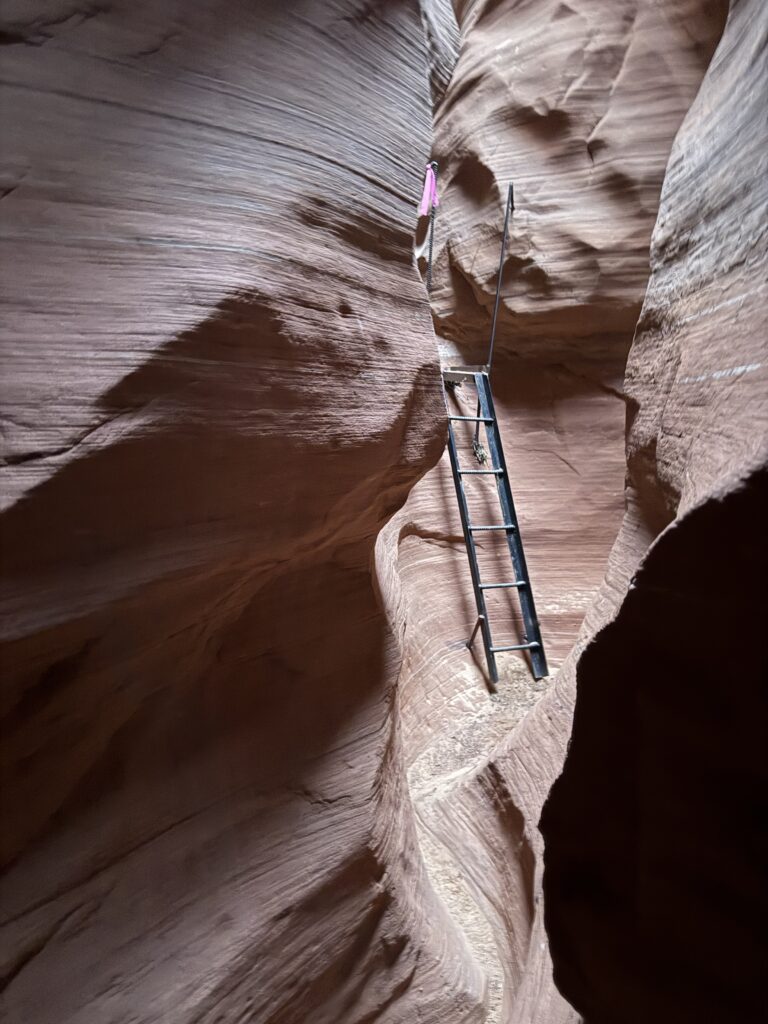
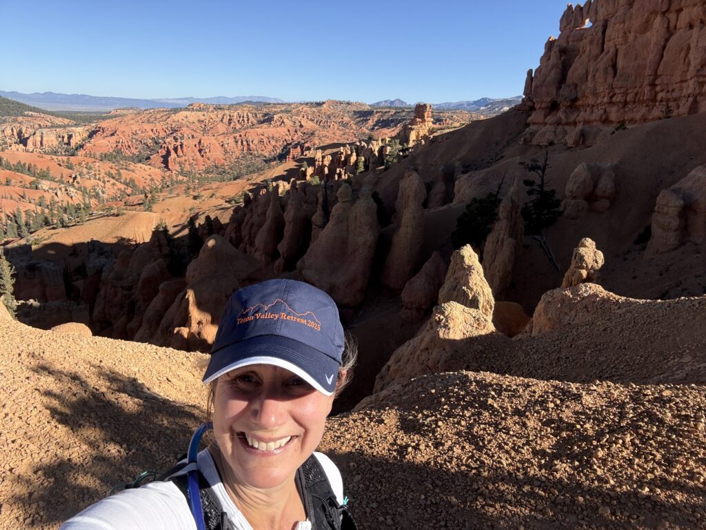
Then… you might wonder, why the picture of a ladder? Well, that picture and the rather strange shot of my head were pictures from a three day trail race I completed in Utah (October 2025). It was a blast, sore legs and all.
How, nice, we are now in 2026… next post will focus on this year!
I’m writing this post on memory of the trip in Ajo, and with my aged brain that is a bit of a challenge. However, it feels unfair to skip Ajo – like overlooking a step child. Not sure what that really means, but I’ll go with the analogy.
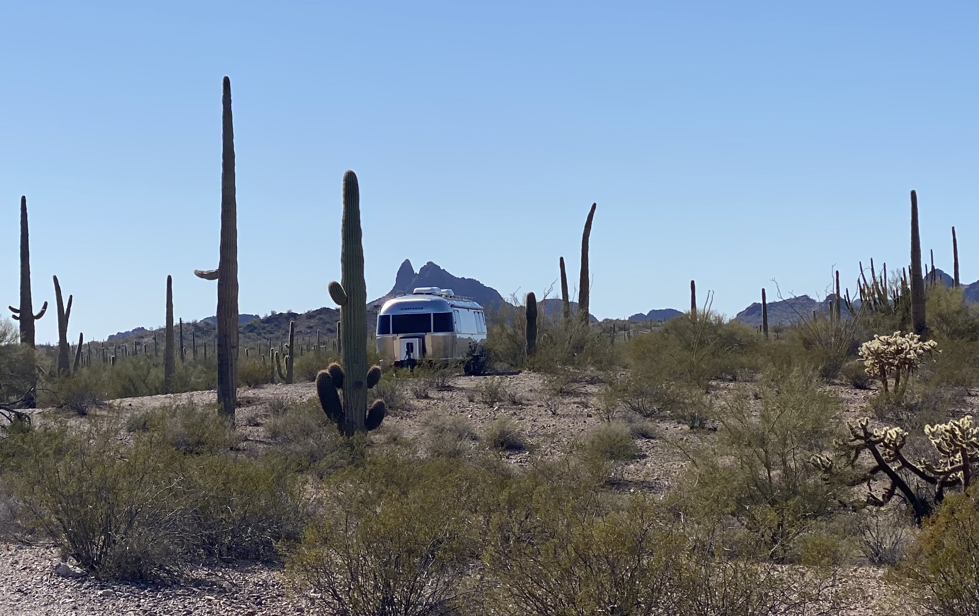
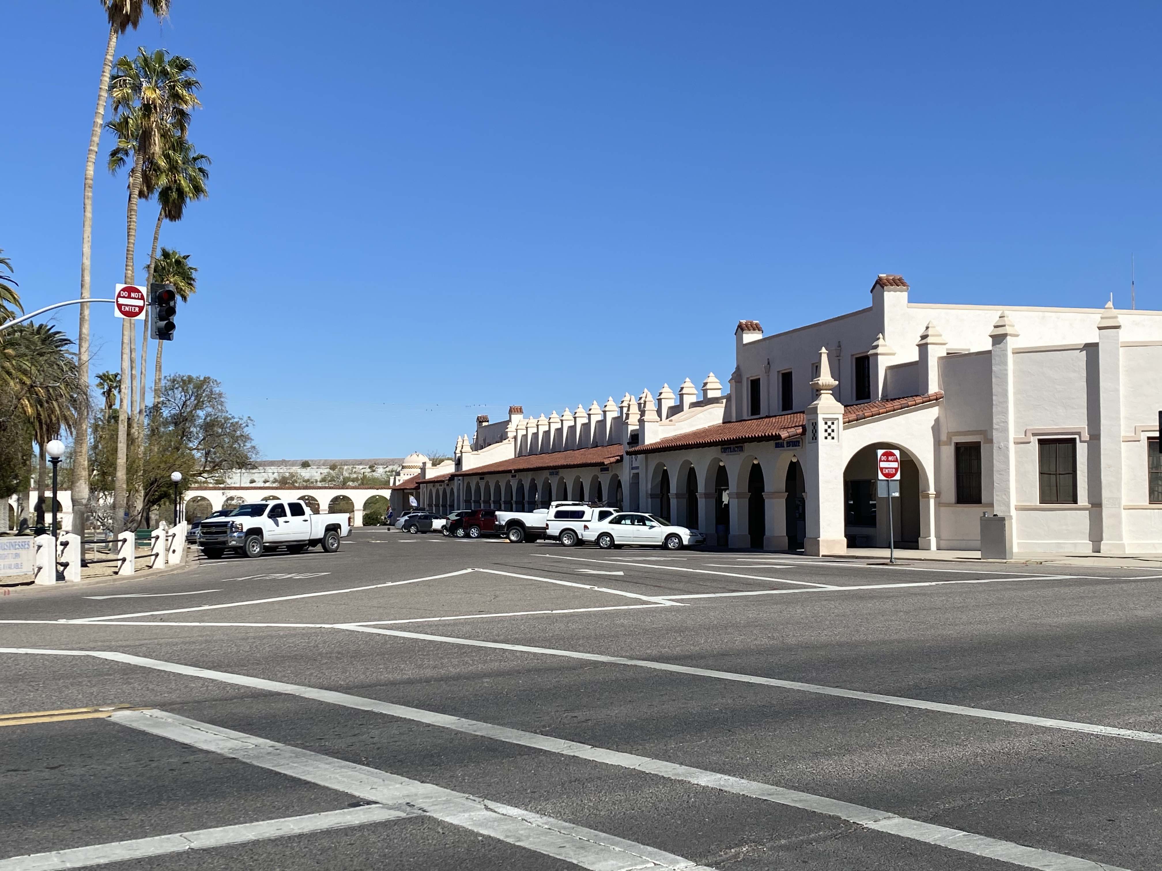
Ajo, Arizona – a surprise in the desert. We camped just outside on BLM land next to quite a few dirt trails. The landscape is what you would expect in southern Arizona, lots of cactus, lots of dirt (everywhere), sand devils when the wind picks up, and no water to found. Dirt, dirt everywhere and no water to be found. It’s a stark landscape, but at the right time, it blooms.
And, while I would like to write a lot more… pictures do more justice. If you happen to stumble along the route and end up here, please visit the town and tour on foot. Galleries, interesting lunch spots, art murals, and a farmer’s market will make the foot excursion worth it.
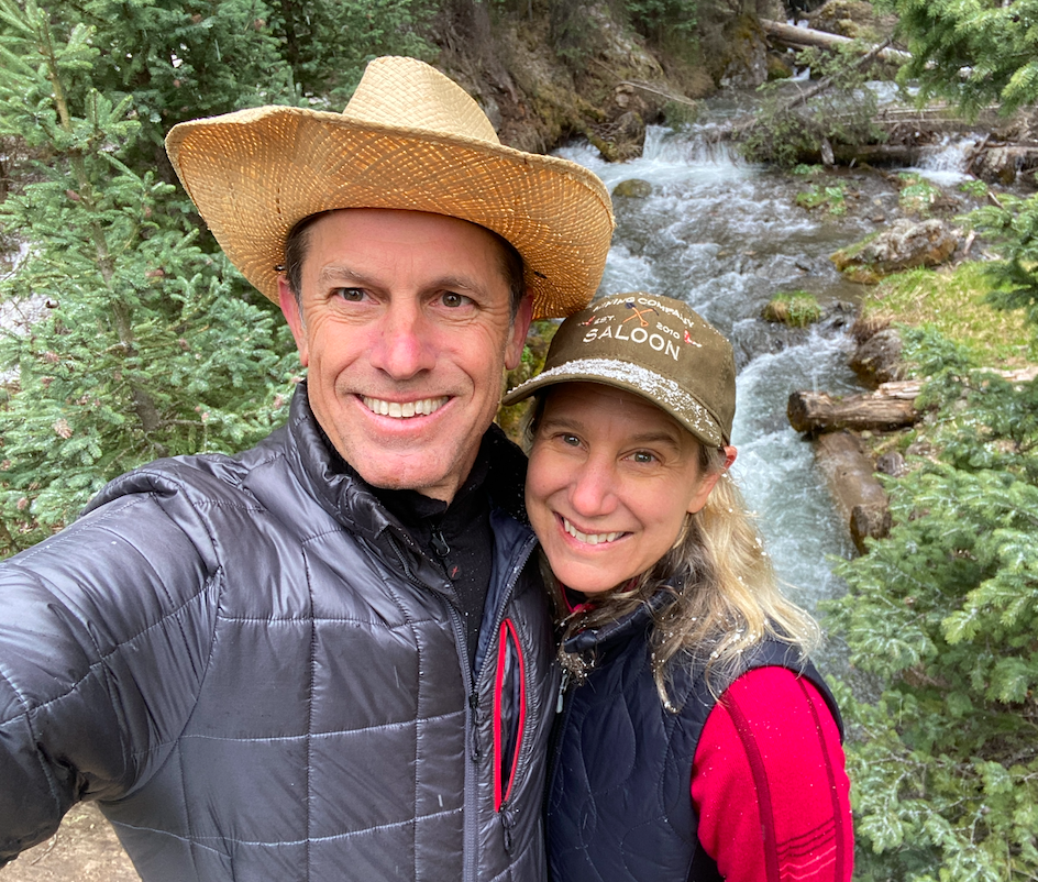
Well, hello, Aristotle (if you have forgotten, Aristotle is the name of our camper)! So good to be back in your gracious confines. It’s been a long seven months without you. Did you miss us? Over the past seven months we were doing a little more luxurious traveling, staying in some nice hotels, and, frankly, I dearly missed my time on the road with Aristotle. I missed the daily hikes, the life in the backcountry, the surprises (some good, some really challenging) that come with life in a camper. We’re only a few days into a few weeks tramp and it feels so right and familiar. So… wondering what we are doing? This picture captures it all
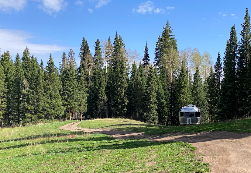
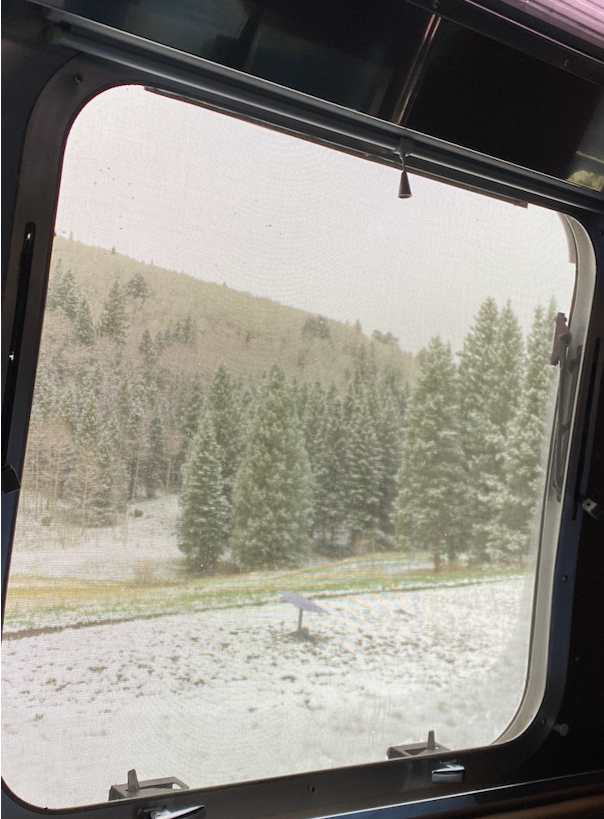
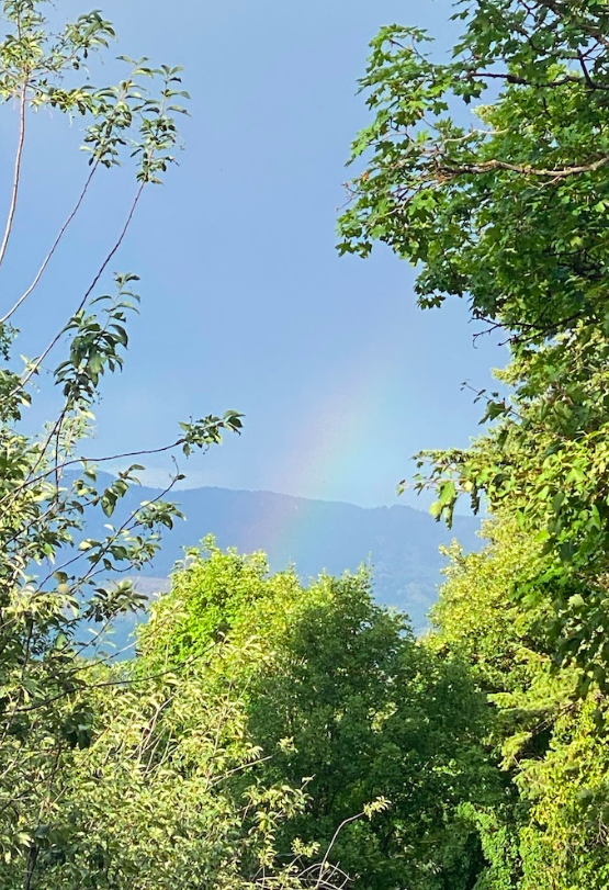
The road to this lovely, secluded spot came with a bit of stress, nail biting bumps and a roller coaster ride in the back while Matt navigated huge potholes and I held cabinets in place. Think massive earthquake – don’t recommend riding the camper roller coaster. Alas, there’s the pot at the end of the rainbow, a dream campsite, in the sun, good weather, lots of nearby hiking, waterfalls, streams, and lakes. Just when all was going perfectly well, the stoic gods and Zeus decided to throw us a challenge – snow and cold weather (so need for lots of propane heat) combined with clouds (so no solar). Should I say that we thought one tank would be good enough for our entire trip? We might be going through one tank in a few days!
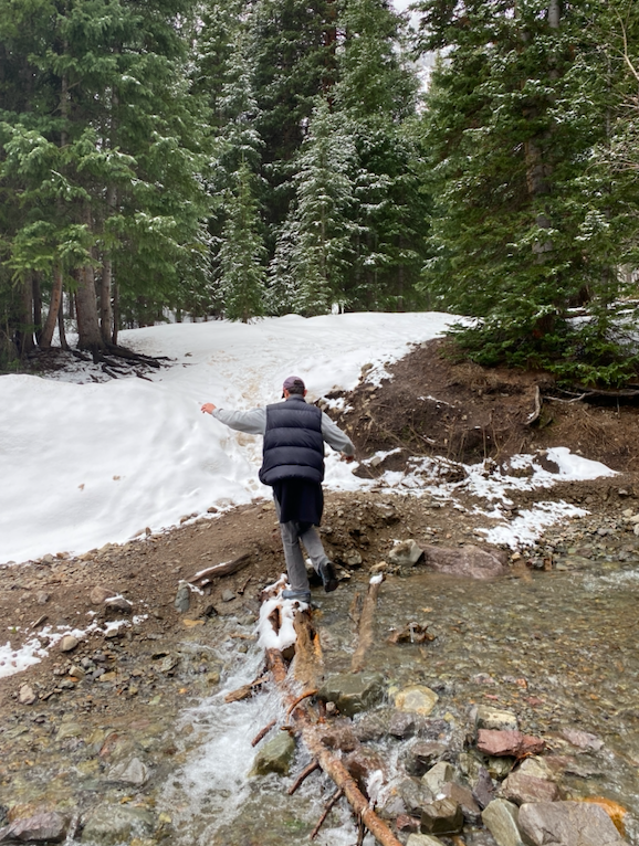
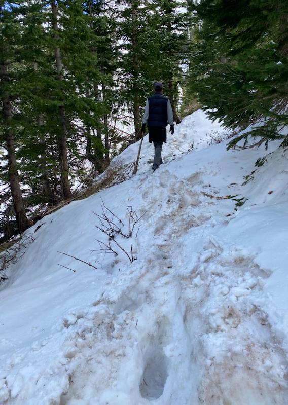
The snow didn’t stop us from enjoying a few hikes, so between hovering around the heating duct or snuggled under the thick covers we decided to venture out to the famous “Blue Lakes”. What did we see, learn? That during the seven months we completely forgot the lessons in preparedness! Oh – and we forgot that a bit of snow on the ground at the base of the hike might mean lots of snow on the hike.
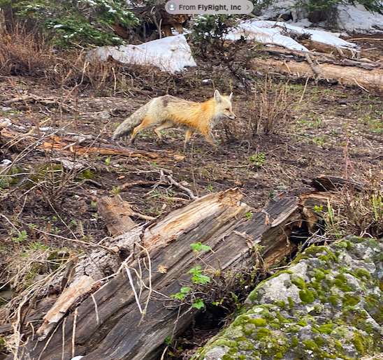
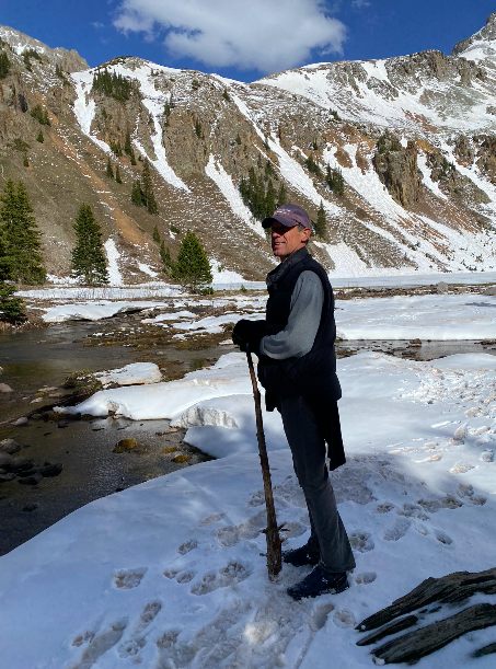
From the idyllic beginning of a few waterfalls, wildlife (literally that fox trotted about 20 feet from us), stream crossings, to the challenge of steep hillside snow climbing (at times we would sink in to our knee caps or slip precariously down), and finally the reward of a beautiful lake. Sadly, we hadn’t planned well enough. After a few seemingly near-death experiences of slipping and beginning to fall off the mountain, we found nature-made walking sticks to help in the journey. Of course we also hadn’t planned on the amount of time it would take, so we were pushing the limits of sunlight. Admittedly, I got a bit stressed and tried to rush us along, much to Matt’s chagrin. Would like to do this hike again, but with proper gear – waterproof shoes, hiking sticks, crampons for the shoes (my running shoes proved useless for repelling water and getting a grip on the mountainside). The pictures belie the challenge as I was unwilling to pull out the phone to snap a shot while desperately trying to stay alive. Didn’t want to end up a selfie example or in the Darwin Award column.
Might have more posts later – as we will definitely have stories from a few more hikes, mountain biking rides, and adventures into town (thinking the clothing optional hot springs – and, no, I’m not snapping photos there either). And since we now have Starlink for internet service (FAST) we hopefully can post from just about anywhere.
When bad things happen, good people show up. I find this to be true often, but rarely as spectacularly as it was on this trip. Let’s start at the beginning.
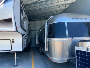
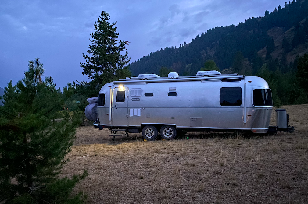
At the end of the last trip (my trip solo), I felt empowered, smart, and lucky. Empowered as I navigated Aristotle on a solo trip. Smart as I was able to find that spot – the last spot available in practically all of Idaho. Lucky as Twin Falls airport allows you to park cars there for free. I nestled Aristotle into a tight 10×30 parking spot, drove to the airport and bid Plato farewell in a convenient and free (!) airport parking spot. All was good in the world. (you are welcome to compliment me on my parking… okay, truth be told, it took me about 30 minutes to maneuver into the spot, but I got it in!!!)
Two months later, I learned that free isn’t always the best option. Good news? The car was still there and battery hadn’t died… it started immediately. Bad news? A nest of rats had also found a free location with tasty wires inside Plato’s engine bay. As we started driving down the road towards Ketchum, Idaho, it became quite apparent that the car just wasn’t in good shape. Check engine light, service light, faulty temperature sensor, no AC, then, finally, limp mode. We were 3 hours from the dealer and stuck down a dirt road in the forest.
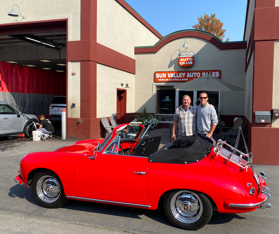
Enter stage door left – good people. Meet Dave Stone, the owner of Sun Valley Auto Club. We were desperate to find service for Plato with few options. As Dave’s place both housed, serviced, and dealt with many Porsches (mainly vintage) we hoped he might have a solution. And, if not a solution, then at least looking at pretty cars might cheer up Matt.
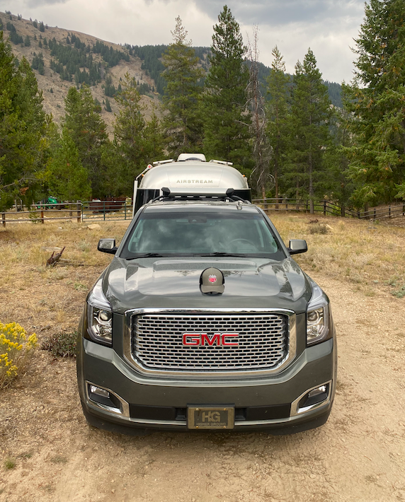
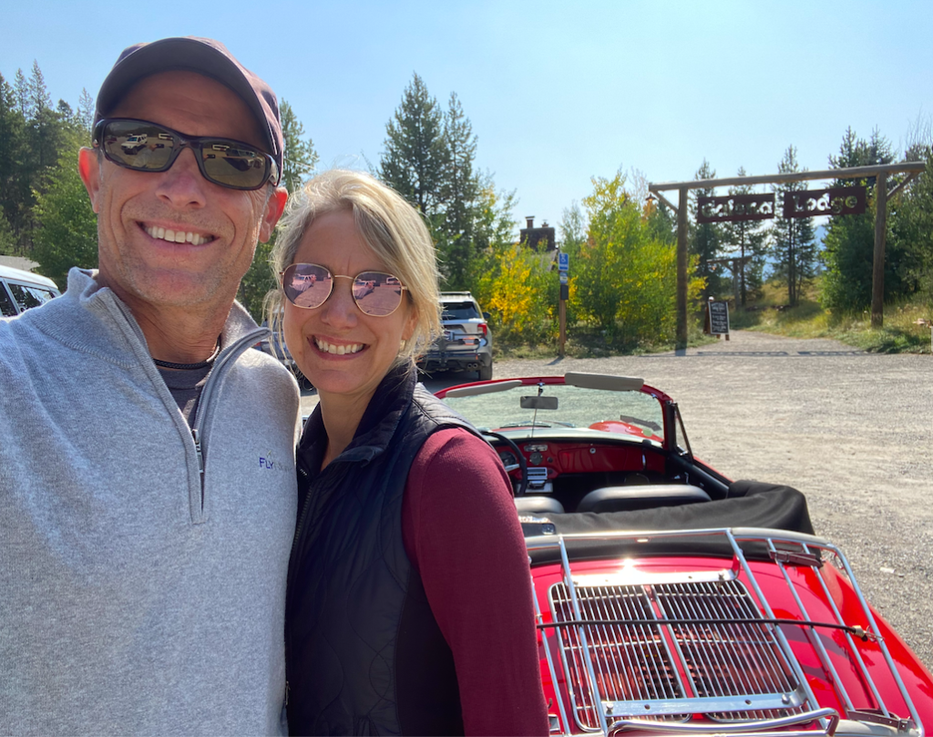
At hearing our predicament on our 20th anniversary no less, Dave put on his superhero cape and came to the rescue. He first offered to trailer our car the 2.5 hours to Boise and in the meantime loan us his personal SUV so we could continue camping and getting around. When the SUV wasn’t immediately available, he loaned us his precious 1961 Porsche Cabriolet – red and beautiful. It wouldn’t quite tow Aristotle, but it was great for a day outing. I’ve given his SUV (a Denali) the name “Da Vinci” and his Red Porsche “Florence Nightingale”.
Think the pay it forward ends there??? Nope. We took Dave and his wonderful wife, Laura, to dinner as a small token of our appreciation. While at dinner (as an aside, it was a really good dinner at Knob Hill Lodge – highly recommend), another gentleman who clearly was a recipient of Dave’s good graces sent over a nice bottle of wine. Did the generosity stop there? Nope…. Dave and Laura then invited us to join their weekend fun at their amazing compound in the middle of the Sawtooth National Forest. We brought Aristotle to continue the camping feel, but definitely availed ourselves to their whiskey, wine, food and gourmet smores around the campfire.
The generosity of Dave and Laura is astounding and was a reminder of how good people are. Another positive about the whole adventure – we ended up staying in the Ketchum/Sun Valley area longer. Ironically, thousands of miles from our home, we had a very busy social calendar. Dinners with our new friends, the Stones, dinner and too much (way too much – sorry, McNair) drinking with our former neighbors (Will & McNair Bailey – now residents of Ketchum), a nice cocktail hour with Matt’s second cousin, Stephanie, and mountain biking with Dave’s brother. The learning lesson here? Maybe we should be staying in one place a lot longer.
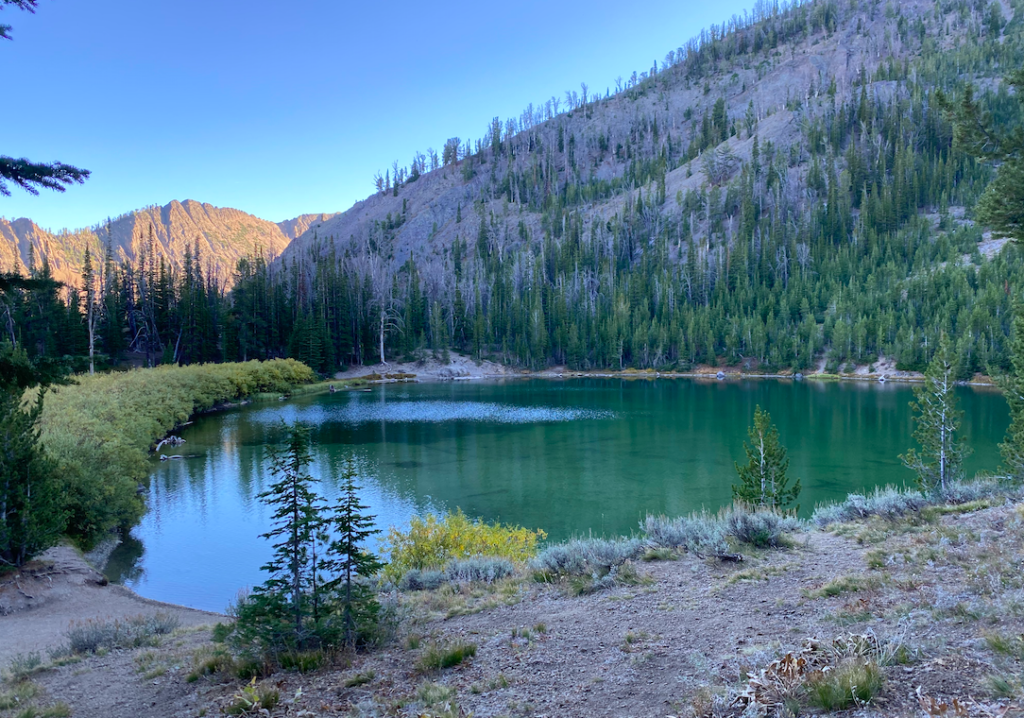
We found Ketchum/Sun Valley to be a little paradise. Last picture is of a wonderful lake on a hike near Galena Lodge.
Why “Wildness”? I’ll get to that at the very end (patience). First apologies. It’s been ages since I’ve posted anything. Sorry. Been busy. So, hi again! We could spend time backtracking on experiences had, but reflecting accurately months later is like remember an evening with a lot of wine. It’s a bit fuzzy. I could post some old pics from the previous time, and may that will happen at the end of the post… for now, let’s be in the now.
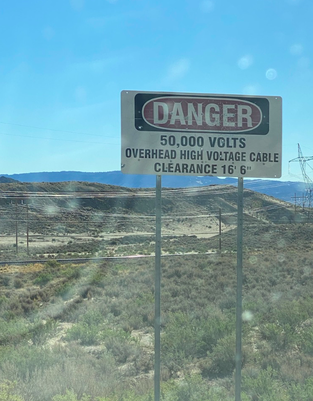
I’m solo again. (Much to Matt’s chagrin as his jealously seeps into the “so happy for you” when we chat while I’m on a hike and he’s putting toothpicks in his eyes working 15 hours on a work project at home.) It’s exciting, empowering to be out traveling on my own. Okay, admit it, you are thinking, “is it safe?” Now, would you ask Matt the same if he were solo? No, you say? No, because he’s a male? Bigger than I am? Let me remind you that Matt and I are not far off in the weight category. Weight aside, his punch might do more damage than my punch, but the key is to not need the punch. Just saying, it’s just as safe for me as it is for a male. If a cougar attacked, the outcome might be much the same. If a crazy wanted to hurt you, again, much the same outcome. Of course Matt does have his usefulness. He knows the ins and outs of every part of Plato (the car) and Aristotle (the trailer), so when you come across a sign saying, “danger low hanging (insert danger)”, his reaction may be different than mine. I saw the sign (below) and was struggling to remember Aristotle’s height as a barreled down the road towards the lines that would fry my hair ends. This was after turning onto a road where “the pavement ends” and there are signs of restricted activity everywhere around you. Was I going to disappear from making the wrong turn or burn up into nothing? It did cross my mind. Like Aretha, I said a little prayer, and kept driving.
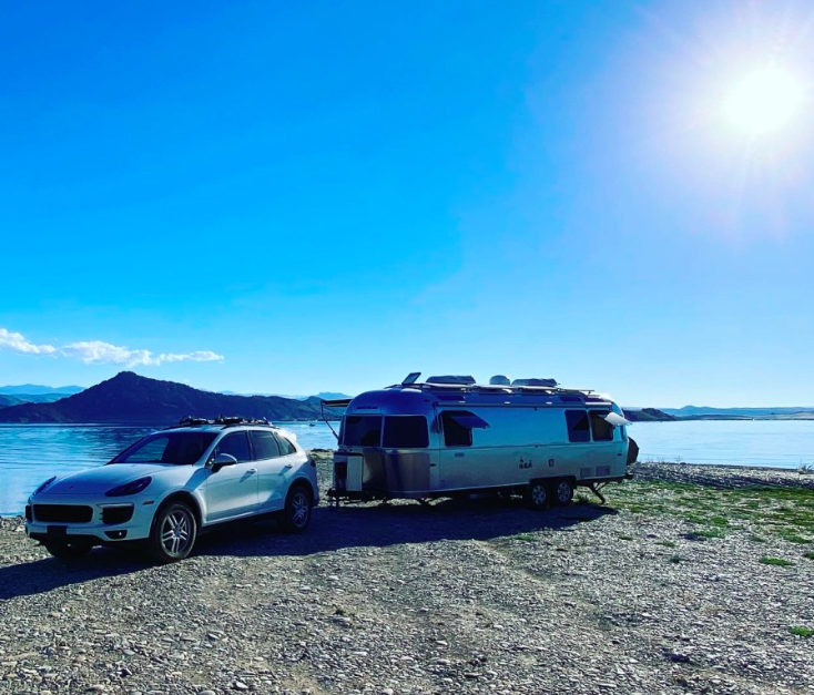
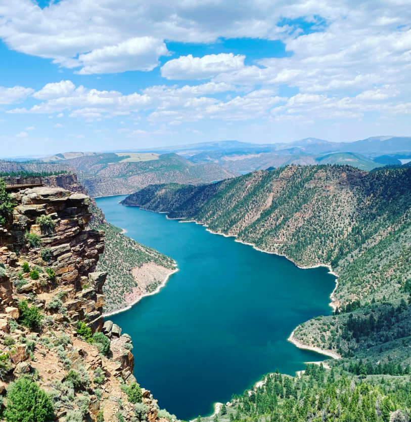
There was definitely a pot of gold at the end of the journey – one of the best spots I have ever had while camping! I arrived at Jug Hollow Dispersed Camping at Flaming Gorge, picking a fine spot in a bay near a few other campers. I was originally happy with spot, and then an hour later a huge RV, I mean a small city on wheels, showed up and camped in my viewshed. Kinda ruined the experience. A bit depressed I went for a run down the road and found an isolated spot a mile further down on a rocky beach. Ran back, packed up, and made the journey there. It was worth the effort.
Yes, I found the most perfect spot at the Flaming Gorge Recreation Area. I had a private beach, save a few boats once in a while. I was going to make some comparison to the movie, “The Beach”, to be clever, but I just watched the trailer and it’s not really the same.
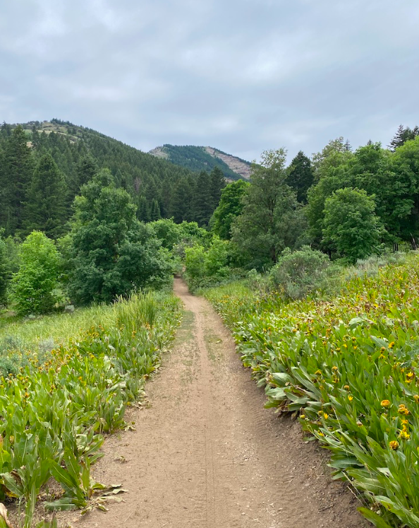
Next stop was Goodenough Creek Campsite in McCammon, Idaho. A BLM (in other words, public land) campsite. Instead of the normal open range, find the best spot possible, this was more organized campsites. If you have not been to Idaho, it’s really beautiful and has great, diverse geography. The area had only a few campsites and I was lucky to get one, even luckier to have back-up into the campsite without incident. I spent the next four days working, hiking, eating, reading, and just being. I did make a friend, another woman out on her own for quite some time, working from the road and seeing all the beauty our west offers us.
So, now to the point of wildness. It’s really a reference to a book Matt’s cousin gave me. The book is The Abstract Wild by Jack Turner. Essentially it’s a bunch of heady essays on deep ecology. One of the chapters talks about wildness. Wildness is that encounter with nature where you are truly part of the ecosystem as prey or predator, not a consumer of the experience. The thesis is that we really don’t have wildness anymore, we cannot experience what our ecologically minded early settlers experienced – direct interactions with mountain loins, bears, all sorts of top of the chain predators. I’m an environmentalist, but I have to admit, I don’t really want to meet up with a mountain lion while I’m alone on a trail. It’s not a badge I’m looking to earn (post mortem). But, that doesn’t mean that traveling solo, hiking solo, getting out there isn’t a form of wildness. Man, I’ve encountered some pretty wild folks – or at least they smell wild. And, I’ve still had visual and real encounters with the nature around me that stick in my mind.
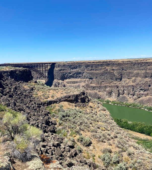
Last stop for trip was a place I’ve already been, Twin Falls, Idaho. I’m camped in a county park on a creek preparing to store Aristotle and fly home.
Damsel in distress. Okay, I’m not generally a damsel in distress. Friends, colleagues have told me that I sometimes frighten others. I think it’s my inherited, angry frown line that belies my feelings… or relays what I’m feeling (beware). Regardless, there are times that we all want to be “saved”. Being saved may mean so much and it doesn’t necessarily indicate weakness, just a moment in time when having someone else help you out makes a huge difference. This was a few days ago.
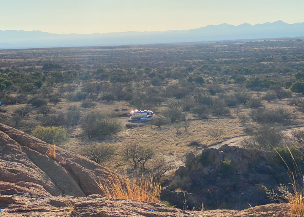
We are parked in a beautiful area south of Tucson, near a small town called Tombstone (think old west, think famous shoot outs…). Anyway, we are 15 miles outside of town, down a washboard dirt road, parked in a national forest. well, there isn’t much of a forest but amazing “jumbo-rock” like mountains.
I went for a hike, with the intention of heading down… or rather up a trail for about 4 miles. Matt was going to do a mountain bike ride. All was good. Water in hand, satellite communicator ready, mapped out trail on phone, hat and sunscreen applied. The beginning scenery of various cactus species interspersed with oak trees, thorny shrubs, towering rocks, and brilliant blue sky beckoned you onward to even better views. All went well until mile 3 (at least for me, the hiker). At mile 3 the trail became obscured by brush and thorny shrubs while the ascent turned from doable on two feet to scrambling on four feet. Then the rock slides happened while navigating slopes that looked like a 50 -60 degree pitch. It was very sketchy even as a hike/scramble towards the end. There was no real trail and most of the mountain was navigated by using all fours to keep from falling, sliding, or rolling down the mountain. At the top, I looked at my trail map and decided not to ascend the treacherous rock slide hill, but instead take the trails going around the mountain. Being the communicator that I am, I texted Matt letting him know that I would be much later than expected. Instead of taking the route four miles back, I was looking at around nine miles. Matt responded quite quickly, surprisingly. He was also on a challenging trail and decided to finish it, but knew that it would take a while.
Long story short, Matt had taken the same trail I had, but he was riding, hauling, carrying, and finally dragging his bike up the cliff to finish the trail. Here’s a quick clip on his experience.
Why did he not turn around? Beats the hell out of me. In the end, when my calculated nine miles back became eleven and I was just hoping to be saved (ie. hoping that Matt had reached the trailer and would come save me), I was sadly mistaken. Instead of being the one saved, I reached the trailer first and got an SOS call from Matt along the same trail I had taken. It was dark, it was cold, and he had still 10 miles to go. All downhill, but sketchy, 41 degrees and in the shade. Wanting to be saved, instead I became the savior.
So, the moral of the story? Not really sure… you fill in the blanks. Despite the challenges of that one day, we loved, loved this campsite. One of our top five. Pictures from hikes and the campsite for your enjoyment. Oh… and the yellow circle is around a climber.
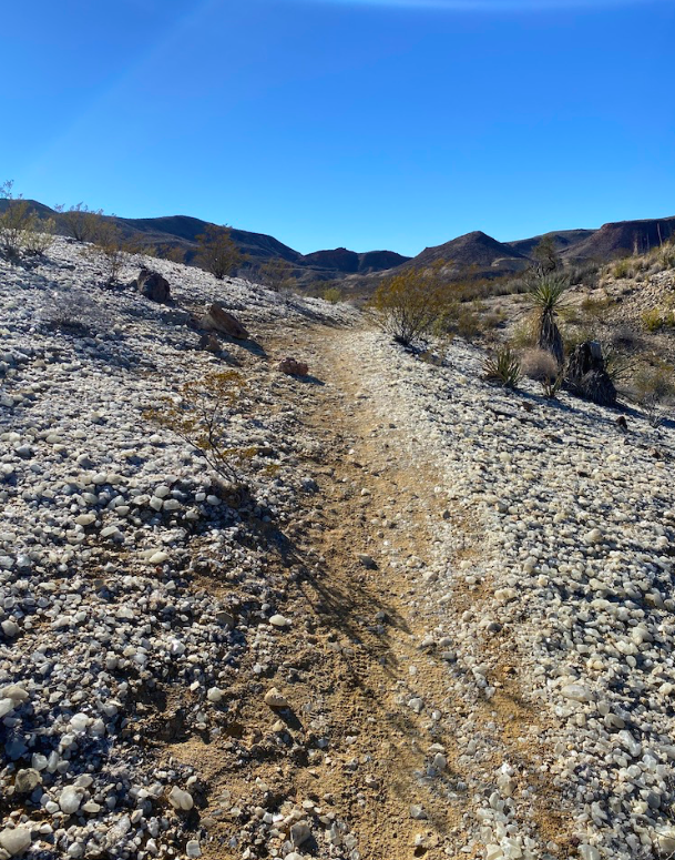
Really, Bobbi, instead of Lucy, and I’m on a trail, rather than in the sky, and, well, the diamonds are actually quartz crystals, not diamonds. However, the experience of floating above a sea of crystals on a trail in the middle of nowhere is magical and we all need a little bit of magic in our lives right now.
We started Trip Fourteen with a previous favorite spot in Big Bend Ranch State Park, and I ran down memory lane taking Crystal Trail to it’s famous point where crystals line the trails and sparkle like you couldn’t believe. The picture doesn’t do it justice, but believe me, it’s a site worth seeing. I did have a slight fear that it wouldn’t be there… that somehow the masses would have come and taken away the magic. Alas there it is…still sparkling in the sky.
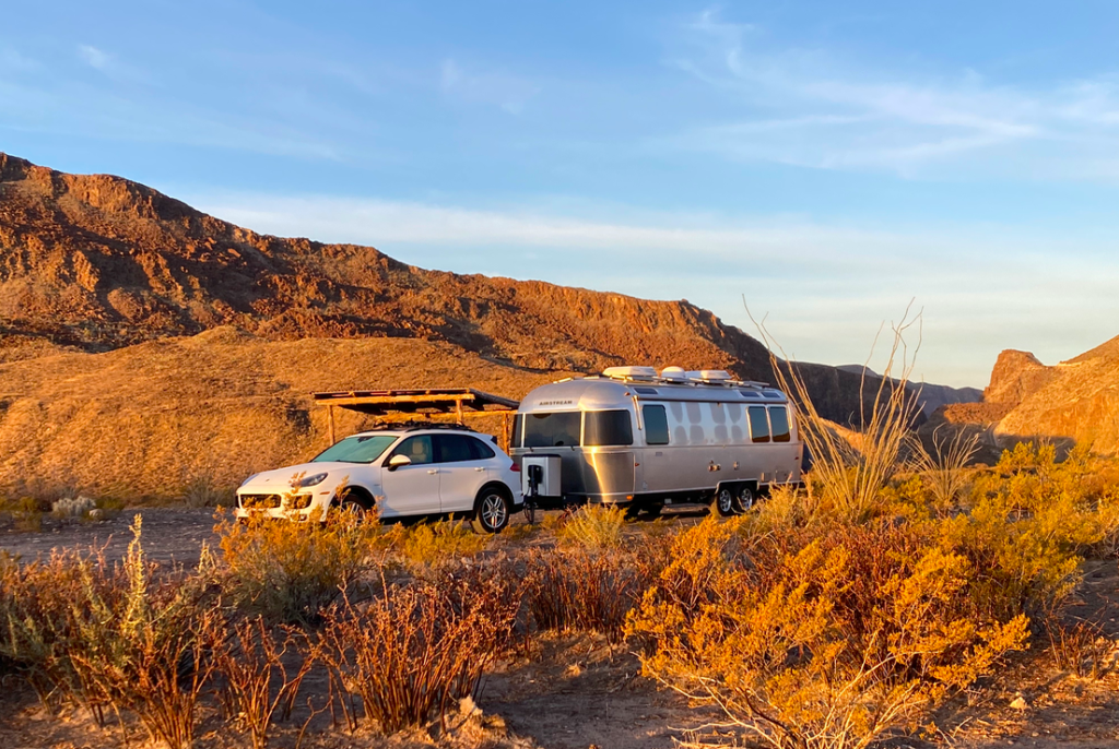
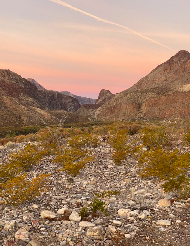
Big Bend was like we remember – out in now where – Matt, me, the few other campers distantly around, the Rio Grande River, lots of trails, starry nights, no cell coverage, and the beauty of nature.
Unfortunately, there is only so many days we can do without cell service. Time to move onward, westwardly, hoping to stay in warm-ish weather. Next on the agenda was still Texas bound, but in a spot we’d never been – the Franklin Mountains State Park just North of El Paso. El Paso looks like an endless array of strip malls surrounding by concrete, asphalt, and lots of gravel-y dirt. Not a place I thought of stopping. And then, out of no where, is a huge natural area dominated by towering mountains. Our campsite looks really good… but in reality it’s a bit of dirt off a parking lot (don’t you love how we can make things look better than they are?). However, there are amazing tent campsites scattered around the park, so don’t discount the place. There are two really amazing RV spots – I just didn’t get them… Blame Matt, he doesn’t like to plan far enough ahead. Regardless the trail experience was lovely.
This reminds me of my basketball days and Dad teaching us the fundamentals of a pivot. The trick is to stay solid on the ground with one foot, while improving your position with the other. I’m still learning to pivot, and it’s an important skill to have when your environment changes.
So, pivoting is the theme of today’s post. What started off as a planned route (Las Vegas to Flagstaff to Santa Fe down the chimney of Texas to Austin) became a pivot around cold weather. Why, you ask, because, frankly, a high of the mid-thirties and a low in single digits shrinks the amount of time we spend outdoors and thereby shrinks our living space considerably. I do love my husband, but spending 24/7 in a space the size of a shoebox can create friction even in the best relationship. I like avoiding conflict (yes, brother Jim, contrary to your opinion, I do). So, in the middle of the night (really it was 8 pm and we were already under the covers in bed to stay warm) we decided to pivot from an easterly route to a southern one.
We did have a short opportunity to hike around Lake Mead on our overnight stop at the Boulder Beach Campground. Some pics of the scenery.
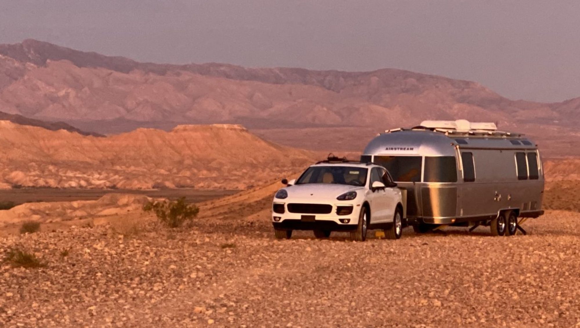
Next morning it was off to warmer pastures, pastures we have known, Craggy Wash near Lake Havasu City, AZ. Craggy Wash is off the grid campers’/squatters’ mecca. It’s designated as Bureau of Land Management (BLM) lands, so a lot is tolerated. ATVs, hunting, mining, and extended camping. We had some experience here, so knew that going deeper into Craggy Wash, would distance us from the the rumble of ATV exhausts and confederate flag flying homesteaders. Found a great spot to call home for a few days, not too far from some protected trails (SARA Park) that supported Matt’s addiction of mountain biking and my addiction to hiking.
The only downside of our pivot to Lake Havasu is that it got us no closer to Austin. Going to have to make up some miles in the next week so that we don’t miss out on Jim’s and Holly’s Thanksgiving extravaganza. Next stop? Still pondering the options. Flagstaff is getting warmer and more attractive. Oh… also found out that New Mexico is requiring any visitor from a “high-risk” state to quarantine. What states do they list as high risk? ALL of them. So, will have to plan ahead and decide if we are going to camp somewhere along that 373.5 mile stretch.