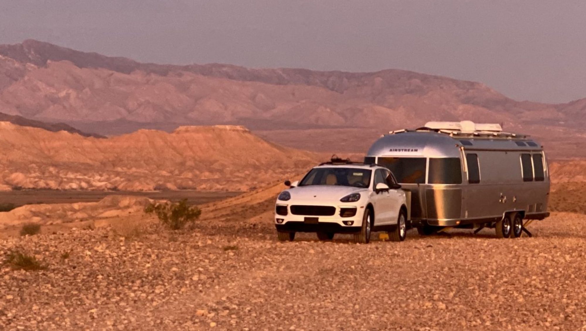
Matt and I disagree about photos. For him, landscape photos are meaningless without a human, pet, or toy in the picture. He says, “If you want a picture of the landscape, buy a postcard. It will be a better picture.” The postcard, though, isn’t proof that I saw it, that I was there. Whereas when I take a picture with my phone, I am saying, “I was here!” And, in Bryce Canyon National Park, I said, “I was here!” at least a thousand times.
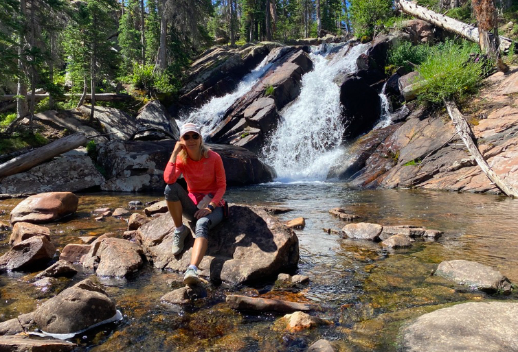
Every turn in the park becomes a vision of pink, yellow, white, green with a backdrop of deep blue skies. It’s unreal. I took a hike from Bryce Point down into the canyon along Peek-a-boo trail, Navajo Trail, Horse Trail, and then back up along Rim Trail. Couldn’t stop taking pictures. Each time I put my iPhone away, I would turn a corner and come face to face with another gorgeous view. I finally just kept my phone in hand and just snapped away at will. Here are just a smattering from that hike (and, yes, I did feature myself in one and my shadow in another).
After the hike, it was time to rest by the lake near my campsite (Pine Lake). I alternated between reading, reading with my eyes closed, and casting a lure in hopes of scoring dinner. Well, my casting talents failed, but my friendly, smilingly talents paid off when another fisherman offered me his catch (he didn’t want to clean it). In case you are interested, the trout was stuffed with a butter, garlic, random herbs and lemon slices. It was then sauteed the over onions, shallots, peppers and mustard greens with lemon juice, dijon mustard and a little beer (was already drinking the beer so, what the heck!). Delish!
Of course, one day of hiking wasn’t enough, so the next day I hiked Fairyland Loop. Did you think that was the end of pictures. Oh no… so many more to enjoy….
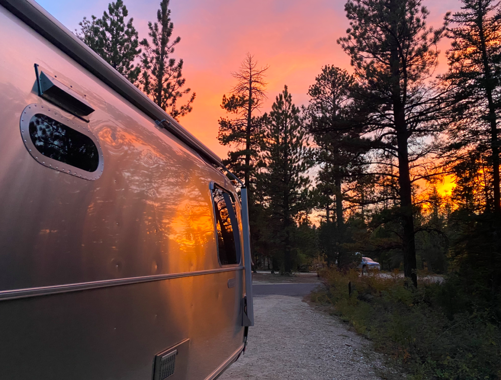
Well, tomorrow will be the last day of enjoying this incredible scenery. So, as I leave it behind, I also leave you with a parting shot of the campsite at sunset.
Aristotle and Plato head for storage in Las Vegas, and I head home. Happy to be going home, but also anticipating the next adventure…
Usually I wait until the end of a trip to talk about it. But today was just one of those experiences I need to share in greater detail than I would in a normal trip post. It was the day I almost became one of those headlines “woman gets lost and dies 4 miles from campsite”. I always wondered how someone can be a few miles from their car in the woods and get completely lost. Now I know how that happens.
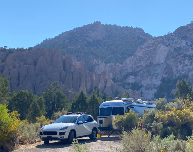
So first, let’s just appreciate the beauty of Castle Rock Campsite in the middle of Utah. It’s lovely and nestled into a small canyon. Beyond the stunning backdrop of these unique rock formations, there is a quaint creek that runs through the campsite and each spot is private. The one drawback – none of my trail finding apps showed any meaningful hikes in the area. Then, on a whim, I found that someone had done a “mapmyrun” at the back of the campsite, going about 1.5 miles up the canyon and along the creek. I found a trail! Noticing that this trail was not marked on TrailForks or even AllTrails, I decided it was my duty to hike the entire trail and plot the hike on an app for other dedicated trail users.
Online sleuthing uncovered the fact that this trail is marked on a US Forest Service map, but not easy to find. It indicated that the trail from the campsite (Joe Lott Trail) extended about 3 miles from the campsite to an interpretive display at the other end. Right before the display, another trail loops back and then you intersect one more trail that finally brings you back to an early section of the Joe Lott Trail. Seemed really doable, estimated around 6 miles for the hike, not a huge hike. So I grabbed my usual gear: bear spray (also usable on mountain lions and aggressive men); GPS tracker (with an SOS function just in case the mountain lion got a swipe in before I hit it with the bear spray); 12 ounce water bottle (it’s only about 6 miles); and my phone to track the hike into the TrailForks app.
Let’s just say, things don’t always turn out the way you expect. The Joe Lott trail isn’t used much, likely because, after mile 3, much of the trail is unmarked. It’s also not 3 miles long, it’s more like 6. After trudging along about 4 miles, all uphill, I found a collection of bones. May have been the last hiker that tried this trail and failed. At mile 4.5 the trail runs into a large meadow and there is no way to tell where it continues. No cell signal meant no way to look at an online map. I assumed continuing to walk in the same direction might be the best solution, and it would be easier to backtrack if all else failed. At that point I was thinking that I should have left markers/bread crumbs along the way to be sure to find my way back. Then mile 5 reaches a summit, but still no easily traceable trail. I took various deer/bear/elk paths hoping one might be the trail. One side path stopped at a deserted campsite where a pair of hiking shoes were left in desperation (maybe connected to the collection of bones found earlier?). Finally a rock cairns indicating signs of hope – there was a direction to be had. Finally, just before mile 6, I got a weak signal and was able to ascertain where the trail was and soon connected not just to the trail, but to the junction of the next trail. I would live another day.
Relief was instant. An easy to follow trail and it looked like it would just be downhill. No more uphill! It would be smooth sailing, downhill, back to the campsite. While that trail was downhill, my next trail needed to cross back over a mountain to get back into the original canyon. This trail, like Joe Lott, was occasionally obscured by overgrowth and was hard to follow.
By mile 8, I ran out of water. Mile 10 brought a few tears as I stared straight up. Finally at mile 11 the current connector trail ran into the early portion of the Joe Lott Trail. After 3.75 hours of hiking (and occasionally running, I arrived back at the campsite. As a side note, mile 5 took me almost 30 minutes between the uphill and wandering off side paths. Mile 10 took me 25 minutes with a steepness that challenged gravity. Here’s a link to my route on TrailForks.
Pictures along the way… I did stop to blend into the landscape. Didn’t realize that pink is useful camouflage.
COVID and foot surgery messed up a few things, like our plan to wander up to Banff, Canada this summer. Instead, we were lucky to make it to southern Montana. So while the final northern destination wasn’t so north, the experience and friends we saw along the way made time during COVID not so bad.
Like the last trip, this one began slowly with Matt finishing various improvement projects. He is a wanna-be engineer, architect, mechanic, and inventor all-in-one when it comes his projects. There is nothing he cannot tweak, sometimes with less-thandesirable outcomes. But, hey, that’s the joy in inventing. When the first attempt doesn’t work, try, try again.
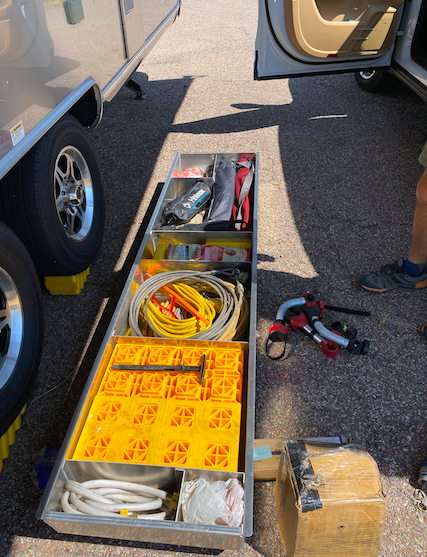
This time the project was installing a pre-designed (courtesy of his newly learned CAD programming skills) under-belly storage. Airstreams, and Aristotle in particular, are high on design, and sometimes low on function. The only outside storage, or even storage space that is accessible from outside, is what they call a “trunk”. Think fanny pack on the back of the trailer. It’s narrow and thin and fits almost nothing. So after much designing, even planning each items location, Matt had an aluminum (he has corrected me to be exact, 0.09” 5052 aluminum) “belly” box that would supposedly install across the belly of Aristotle and slide out from either side. I could go hours and hours on the installation process, as it took many, many hours, but instead I will just show you the result.
Exciting… right?? There’s actually a lot to be said for having outside storage of things that deal with the black/grey tank.
Matt’s installation held as we got to our first campsite in the Dinosaur National Monument. Lovely spot, by the way, but lacks any cell service and if you are going to work on the road, it’s just not the right spot. We did venture out for a short hike before packing up and heading onward.
I should mention that while the belly box held during our quick stay at Dinosaur, our electric hitch literally burned up. Say what? Well, that’s kinda of an inconvenience and a lot of workout when you have to hand crank 1,000 pounds of tongue weight on our 8000 lbs of a trailer up and down.
To make it even more interesting, Matt tried really hard at the second campsite to lose the belly box. I distinctly heard something like, “WATCH THIS!” while Matt proceeded to drive up a steep, gnarly, boulder strewn, pot-hole ridden forest service excuse for a road outside the Grand Tetons. It was definitely not meant for cars pulling 28’ trailers. After about an hour of inching up the road, being chastised by locals passing us by running over the bushes on the side, and a little bit of yelling at each other, we called uncle and u-turned at an already occupied site. The following video is part of our downhill crawl. Hey, at least the belly box stayed intact.
That video showed us coming back down the road with our tail between our legs. Why, you ask, did we think torturing Aristotle and Plato by traversing a steep, pot-hole, rock ridden road? Well, frankly we arrived late to this popular national forest area and all the flatland spots were taken. Unfortunately, all the spots up the crazy road, at least as far as we got, were also taken. Luckily, someone took pity on us after our descent and offered to share their rather nice, large spot on the flatland campsites. Our campsite was officially called, Antelope Springs Designated Dispersed Campsite. We ended up spending four nights there sharing food, beer, wine, and dog walking fun (that’s a shout-out to TJ and his four-legged kids, Achilles and Hades). All in all, it was a great stay, good biking from the site, good biking east of Jackson, and, of course, a great hike in the Grand Tetons to Delta Lake.
For those of you interested in staying at this area, know that it’s very popular and a vacant site is like gold. But, people, in general, are quite nice, and there are some that will offer to share their spots. Also you never know when someone is going to bug out and leave a vacant spot.
Alas, it was time to explore again, so we hit the road headed North. This time, I selected Red Cliff Campground in Gallatin National Forest just north of Yellowstone and south of Big Sky. Would I recommend it? Not really my style, but the hosts were nice and it was convenient. The silver lining was the crazy coincidence of meeting a couple that grew up in the same area of Austin that I did! We first connected as they also had an airstream. It’s a small, small world. However much I would have loved to swap stories, the smoke was rolling into the area and the campground was a bit too close to the road to really enjoy. We did find a good hike/bike near Big Sky, though. Notice the smoke… that’s from California and Oregon. It was suffocating. Can you imagine what it was like in Cali or Oregon?
Bozeman was our next target, not just because one of my college friends, Shawnee Spitler, lives there, and that was a strong attraction, but also because we could get an electric jack replacement. I love exercise, but cranking that jack is a bit more than I wanted.
Bozeman, what a great college town! We marveled at its thriving downtown with eclectic shops and a local flair. Too bad the smoke from western fires were a bit overwhelming. Otherwise we would have stayed much longer. Instead we had a nice dinner with friends, overnighted on a fellow Airstream owner’s yard, spent about four hours installing a new electric hitch, and hit the road to cleaner air. Bozeman, we will see you again – you can count on it.
Better air was found in Pocatello, ID, at the southeastern part of the state. We pulled into town a bit too late to ascertain campsites, so used our handy Harvest Hosts and camped out at the Museum of Clean. Yes siree, there is a Museum dedicated to a clean world – not just cleaning appliances, though they have corned the market in older vacuum models, but also a clean outdoors, clean energy, and clean people inside and out. As expected the parking lot was also very clean and suited us, along with three other RVers.
An early rise (think clean living), gave us a jump start on securing a perfect campsite outside of Pocatello on Scout’s Mountain. This was a great base for tons of hiking and mountain biking. If you love mountain biking, there are tons of trails to be had in Pocatello. If you like food, well, it’s not a foodie’s mecca. It’s definitely not in the Bozeman category, but does have one fabulous brewery, Jim Dandy Brewery. So, if you stop in Pocatello, learn from the cleaning masters at the Museum of Clean, do an epic bike/hike, and recovery while drinking beers at Jim Dandy Brewery.
This marked the end of Trip Twelve A…. I’m separating the trip into two parts, the first part with Matt (Trip Twelve A) and then the second part of the trip without Matt (Trip Twelve Solo). But before I go, here are a few shots of friends found on the road…
Sometimes the path to paradise is a bit rough. At least that was our experience at the beginning of this trip. But before I start rolling down the road trip, I need to give a big shout out to my Uncle John. Yes, uncle, not cousin as he likes to say when introducing me to others trying to shed a few years. John gave Aristotle a home for a few weeks at his ranch in Rifle and allowed Matt to send countless packages. Beyond hosting us for a few nights, we raided his barn and toolshed for tools while finishing up a few new projects on Aristotle. We also emptied his water tank to fill up with fresh water on our departure. Thank you, UNCLE JOHN!
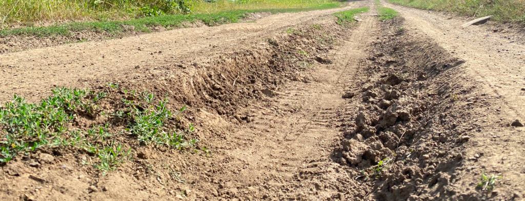
So, to Trip Eleven…. Even advance planning cannot predict 25 miles of a dirt, rutted, washboard county road that was the “quick route” to our first stop. The jostling really put Aristotle to the limit. A drawer ran away from its track, the wardrobe door almost rattled loose, the coffee maker shook free from its “secured” spot and dumped water everywhere, and we found some random small parts rolling around the floor. We stick those in a baggy and someday we may solve the mystery. What should have been about a 40-minute drive on that 25 miles turned into about an hour and a half. Then came the taller parts of the Rocky Mountains, and just when we needed the trailer brakes to work… nothing. They worked before we stopped for lunch which, of course, was all uphill. On a positive note, we had plenty of time to do some preliminary troubleshooting while stopped on the quiet county road due some poor souls medical emergency requiring a life flight out of the national forest. The highway must have been the best place for the helicopter to land. However, back to us. Still no luck on the brakes so we pulled off twice and Matt spent an hour or two lying under the rear bumper trying to figure out the problem. Volt meter testing, fuse changing, and lots of cursing didn’t seem to help. Could we make it to the camp site? Were there dangerous downhill sections? Luckily a local informed us that the descents between us the campsites and Fort Collins wouldn’t be so bad, so we pushed our luck. And, luck is what we would need to find a camp site on what was now a busy Saturday evening. I was sure that we would have to scrap the first stop and head to Ft. Collins. Maybe it was luck, but the reality is it was goodwill of another camping couple to be willing to share a peaceful part of paradise.
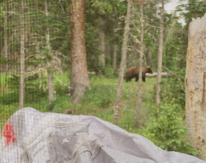
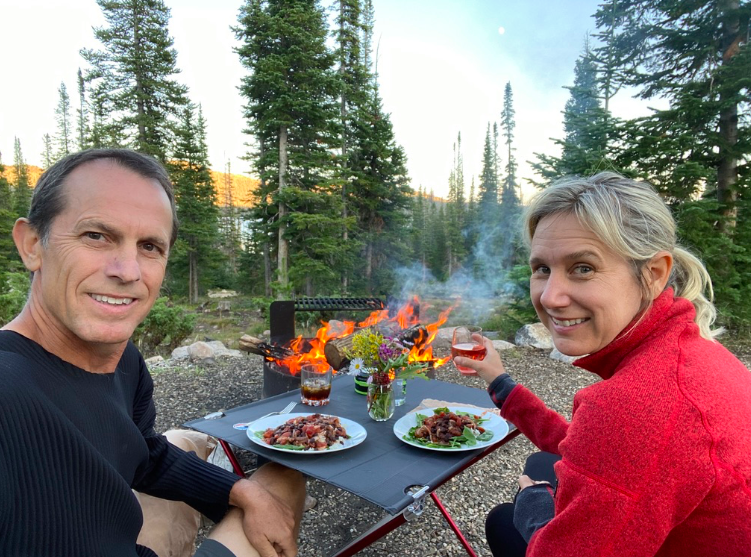
This campsite is Skyline Campground, a boondocking site just North of Chambers Lake (GPS coordinates for our spot: 4038’50”N 10551’30”W) in the Roosevelt National Forest in Colorado. It hugs the Laramie River, which is not terribly wide in this part. No cell signal, no wifi, just nature, some humans, and, generally, peace. I serenely watched a cute little bird body slam a beetle, during which time a hummingbird buzzed around my head, checking me out, and chipmunks searching for food all in the matter of minutes. While eating dinner one night, luckily inside Aristotle, we watched a brown bear amble through our campsite (maybe black bear?). Matt took a picture through our screened window, so it’s not great, but is proof! I will say the mosquitoes are abundant here. Somehow, they have adapted to 9,000 feet of altitude and nighttime lows of 40 degrees. But that 40 degrees certainly makes for wonderful sleeping weather!
Skyline is also near some nice hiking and mountain biking. I did a relatively short ride (6.5 miles) with Matt on a trail that ascended the forest and traversed some beautiful meadows with lakes. We would have stopped and enjoyed the scenery if it were not for the millions of aggressive, bird-sized mosquitoes that saw us as their last chance for a meal. “Knowledgable” people say mosquitos are bad flyers, but I swear a few swooped down as we descended some high-speed trails and lodged on the back of our exposed body parts long enough to get a good blood-meal.
The first segment of the trip highlighted that I am a bit out of practice in trip planning. Matt likes to say that we just roll down the road and don’t really plan that much. That’s because he doesn’t witness the hours and hours of planning that I do to research potential camping sites and routes for us to take. Given that I haven’t planned the trip in a few months, I forgot a few key rules of mine.
Working from the road requires access to a cell signal or wifi within 20 minutes of our site. Many campsite reviews through the apps/online websites will indicate cell signal for different plans.
It’s good to know where the diesel gas stations are on your route. We are about 60 miles from, what we have discovered, is the nearest diesel gas station. We have about 80-90 miles range left. It will be an interesting drive if we run out of gas and brakes. Had I planned ahead, we would have gotten gas enroute to the national forest.
Like gas stations, know where all the dump stations are. Generally you can use AllStays app or Sani-dump website to find those, but good to do that identification early in case of no cell signal.
But, I digress. We had a wonderful few days at the Skyline, and then hit the road again for a quick trip to Ft. Collins to visit friends, then onward in a northern trek.
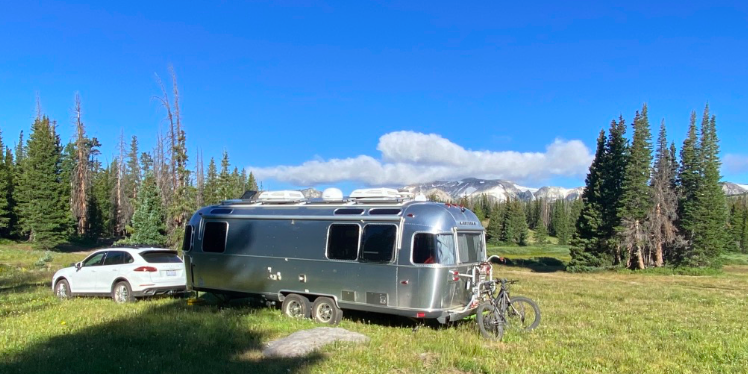
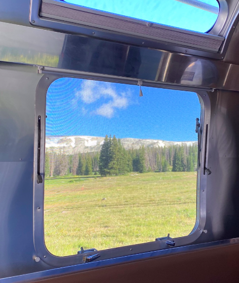
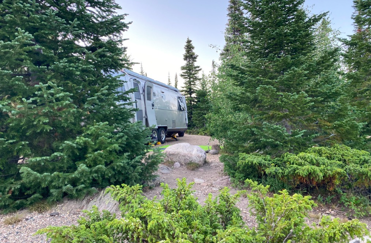
Feeling the groove of the road, we headed to the Wyoming side of Medicine Bow National Forest. Ever heard of it? No? I hadn’t either. All I can say is “Wow” another less discovered gem of a forest. Even in peak season, with a rash of COVID-bored seeking an escape to camp, we found a lovely boondocking site just beyond the road to Brooklyn Lake (happy to give you the GPS coordinates… just ping me). This area does have tremendous wind that acts as a training wheel for the aggressive, and rather prehistorically sized mosquitoes. But that did not dampen our experience.
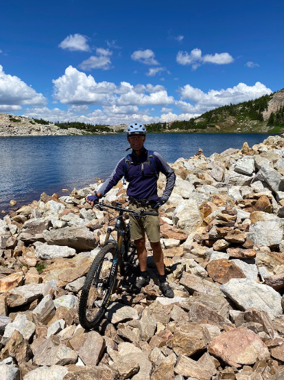
This national forest has crystal clear lakes everywhere, many teeming with trout. There are endless trails that snake from one lake to another, through alpine forests, meadows exploding with ornamental flowers and grasses, and out-croppings of rocks with intermittent snow patches. I tested my recovering foot on a solo hike, while Matt, as usual, tried to kill himself on a 3 1/2-hour mountain bike ride. Enjoy the scenery.
Yes, the rocks were part of Matt’s route, and, YES, that is snow!
The weather started turning a bit, clouds, spitting rain… would it snow? Does it snow at 10,600 ft in summer (that was the altitude at which we camped… we hiked / biked higher)? We really didn’t want to find out, nor did we want to spin our wheels in mud while trying to maneuver around the campsite. Time to pull chocks and move north. This time to Black Hills National Forest. Just so you know, we were kind of rolling the dice on whether a nice spot would be found. It’s late Friday afternoon. It’s summer. It’s COVID-escape time. Every other vehicle on the road is an RV/camper (many with side-by-side ATV’s in tow). We figured everyone would be looking for the same idyllic camping spot that we were and our nervousness was rising. There are only a smattering of “known” boondocking sites in Black Hills, and the organized campgrounds showed no vacancy. Moreover, I read that many of the roads start out rough and turn into traps for adventurously naïve RVers. This was going to be an adventure, an adventure I’m not sure I wanted after a 5 hour drive.
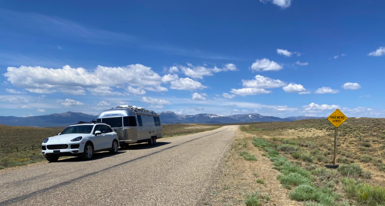
We arrived around 5 pm and headed up a road only to find a couple of the “known” spots were taken. To tell you the truth, those known spots were not so great, essentially pull-offs on the side of a somewhat narrow dirt road. In fact there were only pull-offs, and we had to do a creative 10-point turnaround to get out of that area. Finally, after about 30 minutes of searching, we settled on a spot requiring a tightrope drive straddling large washed out portions of road. The short video that I took while Matt navigated the road belies the obstacles, but does look cool…
Now, here’s the view from the windshield…
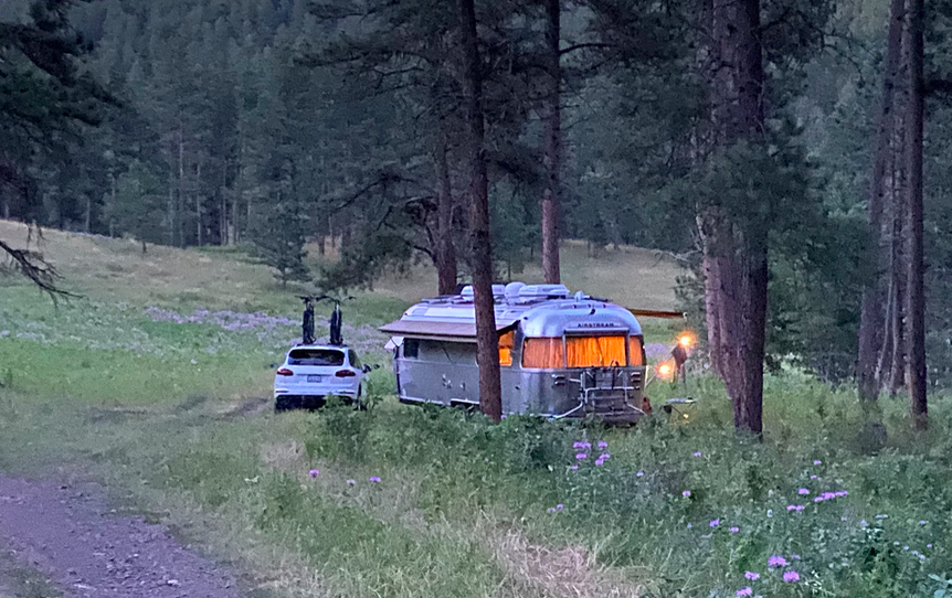
We finally nestled into our serene spot next to a babbling creek, wedged between a few pine trees, tall grasses, a band of flowers, and a ton of cow patties, some bordering on the obscene. Really. I wondered if some of these cows only poop once a month. We traded the nuisance of mosquitoes for hop scotching around cow poop. Let’s just say I’m better at hop scotch than Matt. As a result, Matt tried to flick a patty away from our door so we wouldn’t inadvertently step on it, and instead stirred up a fresh scent and marred the side of Aristotle with fragments of poop. Still, it’s a lovely campsite. And we figured out that covering/marking the cow-patties with rocks and sticks was better than trying to relocate them! (GPS coordinates: 43.9945 -103.4528). In short we totally lucked out. Seems most of the folks camping in the Black Hills prefer organized campgrounds, and that, along with a bit of luck and patience, worked out in our favor.
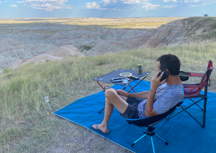
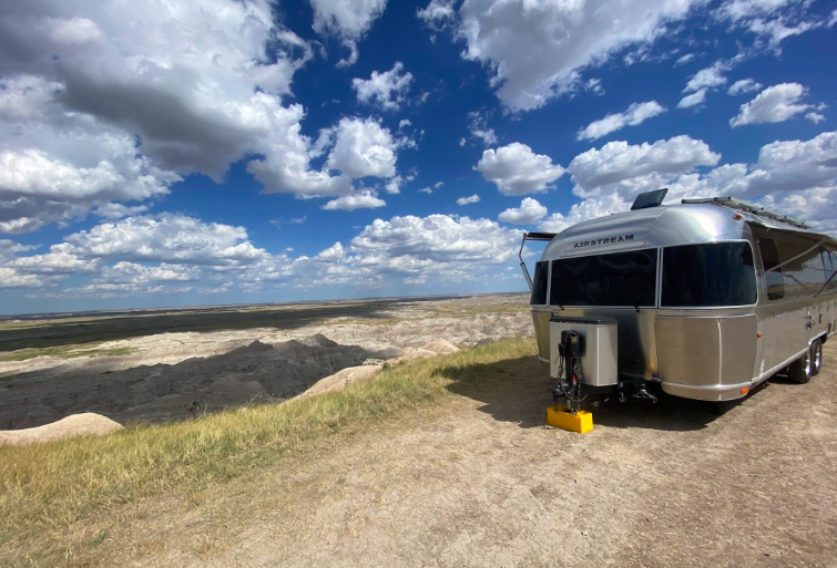
A few days of hiking, mountain biking, and swimming in the nearby lake was about all the fun we could take. It was time to move on to what we hoped might be another amazing spot overlooking the Badlands National Forest. And the view did not disappoint (GPS coordinates: 43.890031, -102.226789). Of course, we are sharing the area with a lot of other people that wanted the same view. If you happen to want to camp here, take a look at the spot via satellite image. You will see that the one road into the boondocking area splits at the ridge. You can go left or right. We went right – wrong choice (not necessarily a political comment). Go left instead, head about 2-3 miles down the dirt road, and you will find some amazing spots without being stacked on top of other people. Regardless it’s a pretty unique landscape.
At this point we started to think about the exit home, so decided to do a quick route back to Carbondale and use that as our starting point for the next trip. This meant about two stops, as, while I am a driving machine, pulling a hefty load for more than 5 hours is a bit tiresome. After some deliberation, debate, okay… maybe a little arguing, we decided on an overnight in Douglas, Wyoming at a very clean, small park on a river. Highly recommend if you need an overnight. Not only is the park clean, with grills and picnic tables, they also have a much coveted dump site and fresh water. That’s like gold on the road!
The last stop (Big Creek Lakes Campground in Colorado) for this trip was a bit off the beaten path – or it was on a path that really beat us up! Again, maps don’t really say the whole story. Like the story of a washboarded road that rattles your teeth out, your cabinets loose, shreds your coffee mugs and creates a small disaster zone inside the trailer. Luckily we remembered to drain the toilet. I would say the spot at the end of the road was worth it, and it was quite lovely, but I’m afraid the journey to that spot was a bit more expensive than we would have liked. We spent the first hour at the campsite reassembling the closet, cleaning up bits of ceramic mug, and finding random rivets here and there. The good news… all wine glasses remained intact! Wine was much needed to relax after the drive. Wine, a bit of hiking, and some fishing rounded out our last camping spot on this trip.
So, we packed up and got back to civilization in Carbondale, Colorado. Aristotle and Plato will be spending a few weeks in Carbondale until our next adventure.
So, we are on the move again after months away. A little explanation… I had bunion surgery and the thought of being next to fabulous hiking while I would be stuck in the trailer just seemed depressing. So we spent Thanksgiving to early February at our primary home, only to find that my foot is still a problem and we wanted to be back on the road.
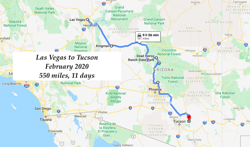
On the road we are! We picked up the trailer where it was stored in Las Vegas and headed south to find warmer weather combined with a nice campsite. One quick stop at a Harvest Host in Kingman, not really recommended, and then south for warmer weather. Unfortunately, predictable weather is not the norm these days (oh, climate change how you mess with our lives!).
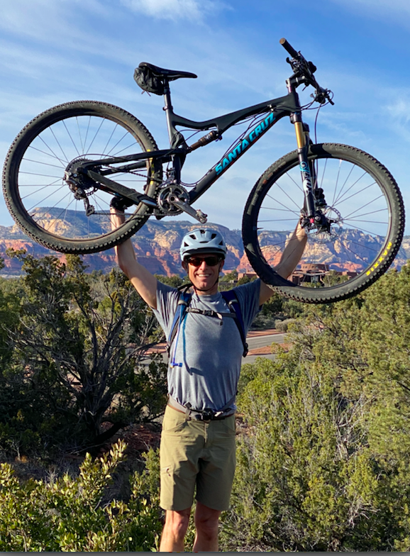
While we usually enjoy the solitude of boondocking, the cooler weather convinced us that having some access to a few amenities would be good. We decided to hunker down at the Dead Horse Ranch State Park in Cottonwood, AZ, near Sedona. It has trails right off the campsite and is close enough to dining options – whether you want to drive or bike. Cottonwood also has a touristy small “old town” and it’s just around the corner from another tourist destination, Jerome.
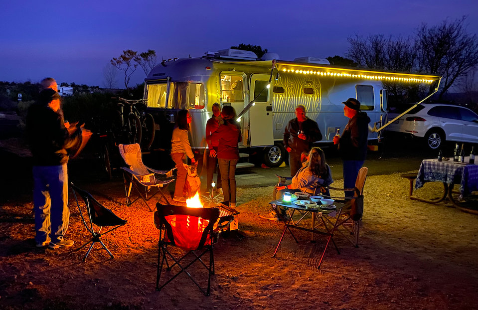
We organized a cocktail party at our site # 96 at Dead Horse Ranch.
We headed from there to Phoenix – originally booking a HipCamp site as all the campgrounds seemed really full and the boondocking options limited. Luckily we met up with some friends from Chapel Hill and were able to score an overfull spot at Cave Creek County Park Campground. The towns of Cave Creek and Carefree are just around the corner, and provide quite the diversion for bar hopping. Staying in Phoenix also gave me the opportunity to check in with Tuna, my godfather. Wonder how he got that nickname? Think of the old commercials about the chicken of the sea… if your old enough you will remember….
Our last stop on this relatively quick trip was Tucson, AZ. This time we found a boondocking site east of Tucson in the Coronado National Forest. Ideal spot? Not really, but it beats a Walmart parking lot and finding spots in this area during February is really tough (if you don’t plan ahead). The highlight is that we are near some mountain biking options. So, at least there’s that!
Highlights and Tips:
Food Stops that are worth it:
Lucy’s Bar and Grill. Chino Valley, AZ. It’s on the road, in a small highway crossroad town (Chino Valley) between Kingman and Cottonwood. Looks sketchy and it appears to be the local bar, but don’t let the appearance fool you. Fabulous burgers, great chili. They make most items from scratch – highly recommend.
Elote. (Sedona, AZ). If you are a foodie, this is a must go. They do not take reservations, so you have to line up and wait to get a table. The line starts just around 4 pm for the 5 pm seating. If you don’t get in for the first seating, then you get a buzzer, grab a margarita and sit on the porch with popcorn until a seat opens up. James Beard award winning chef. Food is outstanding, atmosphere is casual.
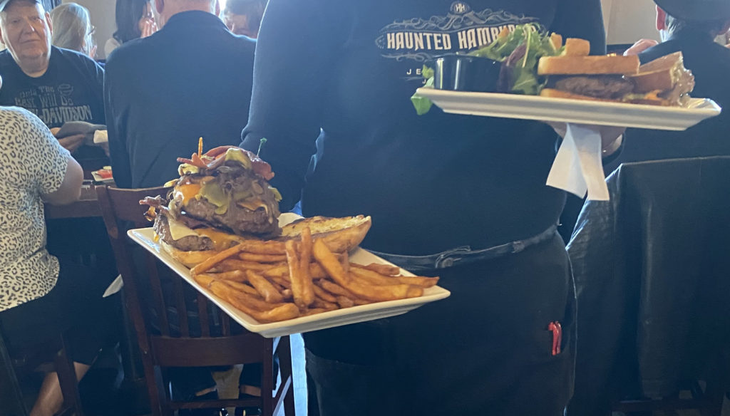
Haunted Hamburger. (Jerome, AZ). It’s a bit touristy, but the hamburgers are amazing. HUGE!
Camping Tips:
Arizona Camping in Winter. If you want a public campground, then plan and book ahead or pray to the camping gods that there will be a cancellation at the moment you arrive.
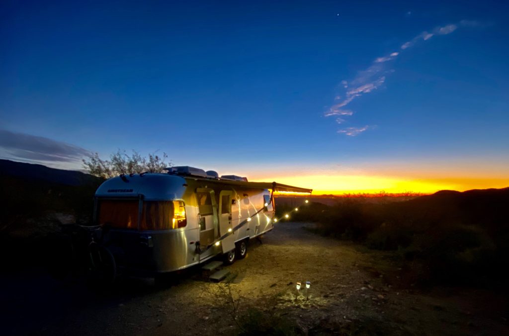
Dead Horse Ranch State Park is a great option for visiting the Sedona area. The Cooper Hawk loop has the best views of the sunset and it’s closest to the trails.
Boondocking in Coronado National Forest. The few spots are literally pull-offs from Redington Road. It’s beautiful, but you will have a ton of ATVs, trucks, and cars passing by. The road is also quite rough. We camped about .75 miles up the road.
Camping in Coronado National Forest outside of Tucson